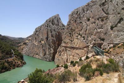
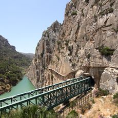
Caminito del Rey, Hiking trail in El Chorro gorge, Andalusia, Spain.
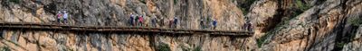
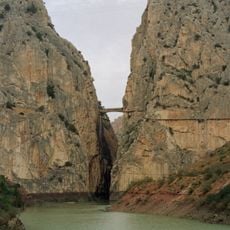
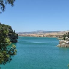
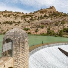
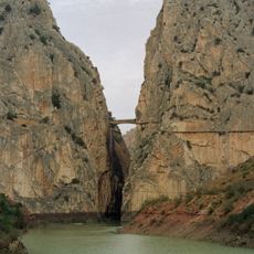
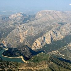
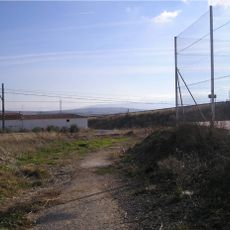
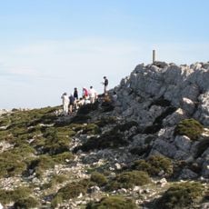
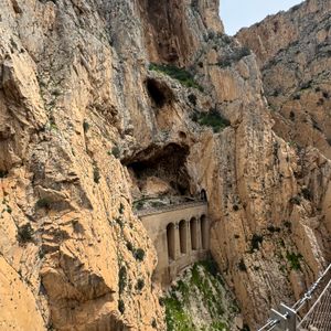
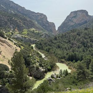
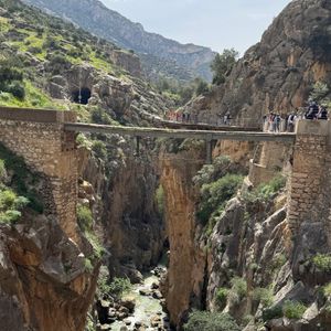
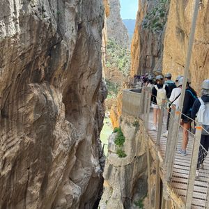
The Caminito del Rey is a hiking trail in the Gaitanes Gorge near El Chorro, Andalusia, Spain, extending 7.7 kilometers along vertical limestone cliffs. The wooden walkways and metal grids hang up to 100 meters (330 feet) above the Guadalhorce River and follow the contours of the narrow canyon.
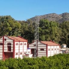
The structure was built in 1905 as a maintenance path for two hydroelectric power plants constructed along the river. King Alfonso XIII walked the route in 1921, after which the trail received its current name.
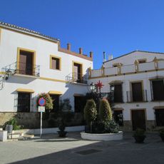
The name means "little king's path" and recalls a royal visit in the early 20th century when the route served workers maintaining nearby power stations. Today visitors follow this heritage of industrial infrastructure through one of Andalusia's most dramatic natural gorges.
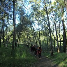
Reservations must be made in advance through the official website as daily visitor numbers are limited. Safety helmets are provided on-site, and a shuttle takes hikers back to the starting point after completing the one-way route.
The renovated walkways include glass floor sections at several points, allowing hikers to see the original concrete paths from the early 20th century below their feet. These original structures still hang from the cliff face and show the construction methods of that era.
The community of curious travelers
AroundUs brings together thousands of curated places, local tips, and hidden gems, enriched daily by 60,000 contributors worldwide.