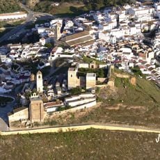
Guadalhorce-Guadalteba Reservoirs, Water reservoir system in Málaga Province, Spain.
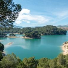
The Guadalhorce-Guadalteba Reservoirs are two connected bodies of water in Málaga Province that store water for cities and farmland across the region. They sit in separate valleys and are linked by channels, allowing water to flow between them depending on where it is needed.
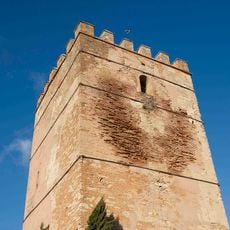
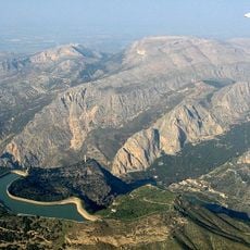
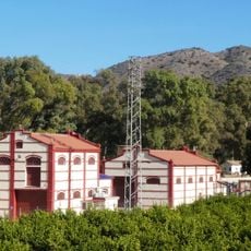
The system was built in the 1970s to meet the growing demand for water in Málaga Province as farming and urban areas expanded. The dams were part of a regional plan to control water supply and reduce dependence on seasonal rainfall.
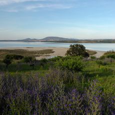
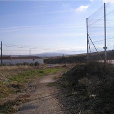
The reservoirs are popular with local fishermen, and the shores attract people who come to walk along the water's edge on weekends. The open landscape around the lakes draws visitors from nearby towns looking for a quiet place to spend time outdoors.
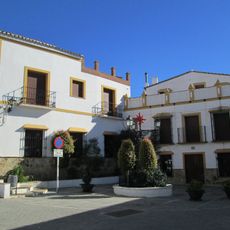
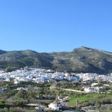
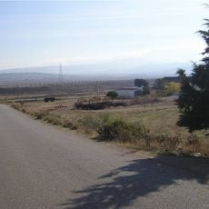
The reservoirs can be reached from several towns including Teba, Campillos, and Antequera, where roads lead close to the water. Visiting in spring or autumn is a good idea, as the heat is less intense and the surrounding landscape is easier to enjoy.
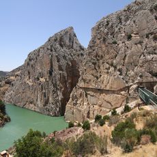
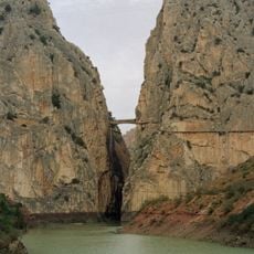
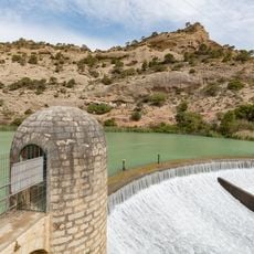
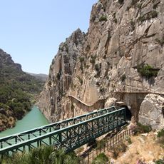
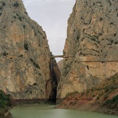
The system includes control structures with gates that can direct large releases of water into the Gaitanes canyon, a narrow natural gorge that lies below the dams. When water is released at high volume, the sound carries through the canyon long before you can see the water itself.
The community of curious travelers
AroundUs brings together thousands of curated places, local tips, and hidden gems, enriched daily by 60,000 contributors worldwide.