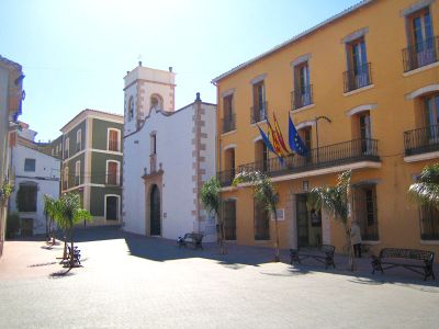
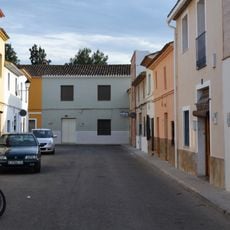
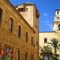
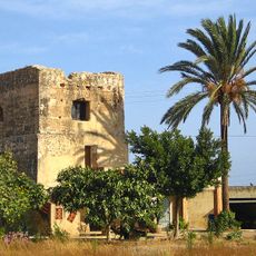
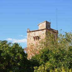
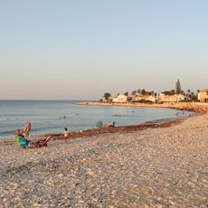
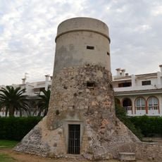
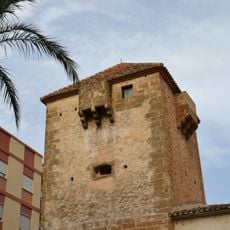
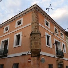
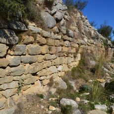
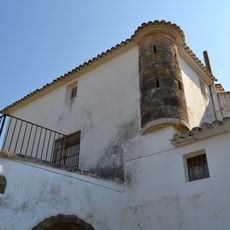
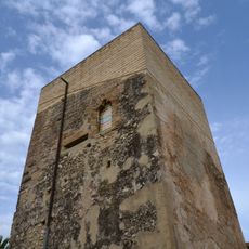
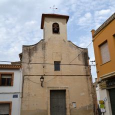
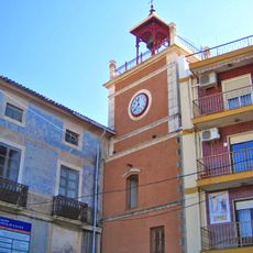
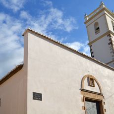
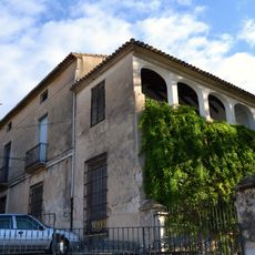
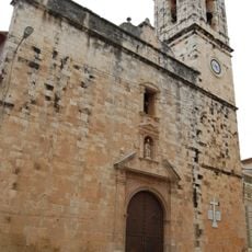
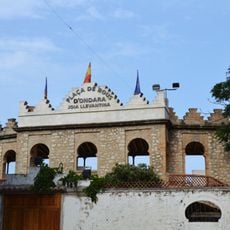
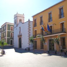
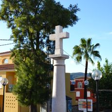
Ondara, municipality of Spain
Location: Marina Alta
Capital city: Ondara
Elevation above the sea: 36 m
Website: http://www.ondara.org
Part of: Mancomunitat Circuit Cultural Comarcal de la Marina Alta, Mancomunitat de Serveis Socials de la Marina Alta
Shares border with: Beniarbeig, Benimeli, Dénia, Pedreguer, El Verger
Website: http://ondara.org
GPS coordinates: 38.82818,0.01710
Latest update: April 16, 2025 15:30
Cova de les Calaveres
4.9 km
L'Estanyo
4 km
Safari Park Costablanca
4.7 km
Platja de l'Almadrava
4 km
Pamis
1.4 km
Església de la Mare de Déu del Roser, el Verger
1.8 km
Torre del Blanc de Morell
3.1 km
Torre Carrals
2.5 km
Platja de l'Amadrava
4.1 km
Torre de l'Almadrava
4 km
Torre del Comendador, el Verger
1.7 km
Casa Forta dels carrers Dénia i Sol, Ondara
207 m
Castell de Segària
4.3 km
Poblat ibèric de Segària
3.8 km
Masia fortificada de l'Albardanera
2.7 km
Els Poblets Tower
2.2 km
Església de Sant Josep
2.4 km
Església de Santa Anna, Ondara
137 m
Torre del Rellotge, Ondara
97 m
Biblioteca Pública Municipal d'Ondara - Enric Valor
98 m
Agència de Lectura Municipal del Verger
1.9 km
Església de Santa Anna de Sanet i Negrals
4.5 km
Palau de la Senyoria
4.4 km
Església de la Santa Creu de Pedreguer
4.1 km
Bullring of Ondara
170 m
Convent de Mínims
10 m
Cross of Sanet y Negrals
4.4 km
Casa fortificada
1.7 kmReviews
Visited this place? Tap the stars to rate it and share your experience / photos with the community! Try now! You can cancel it anytime.
Discover hidden gems everywhere you go!
From secret cafés to breathtaking viewpoints, skip the crowded tourist spots and find places that match your style. Our app makes it easy with voice search, smart filtering, route optimization, and insider tips from travelers worldwide. Download now for the complete mobile experience.
A unique approach to discovering new places❞
— Le Figaro
All the places worth exploring❞
— France Info
A tailor-made excursion in just a few clicks❞
— 20 Minutes