Enable Location

We need your location to show you interesting places around you

Discover nearby places

Find interesting locations and hidden gems around you

Precise directions

Get accurate directions and distances to places

Your location is never shared with other users. It's only used when you tap the location button.

Tapia de Casariego

Log in to your account

Start exploring — it's free

Trusted by 63,817 travelers worldwide

Continue with Google
Continue with Apple
or

We will send you a code to connect

By continuing, you accept our Terms and Conditions and our Privacy Policy

Check your inbox

We've sent a pincode in your inbox. Please enter the code below.

Tapia de Casariego
Discussion Reviews 1 Photos
17k Popularity

Tapia de Casariego, municipality in Asturias

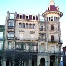
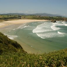
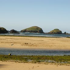
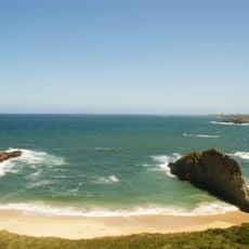
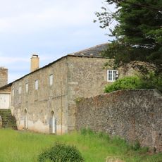
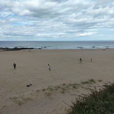
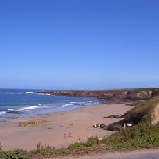
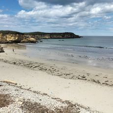
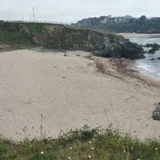
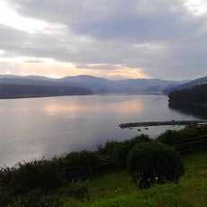
Tapia de Casariego is an administrative region in the province of Asturias located on Spain's northern coast. The area encompasses a small port town with beaches, cliffs, and several neighborhoods, including the traditional fishing quarter of San Sebastián with its characteristic house facades.

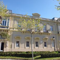
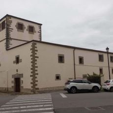
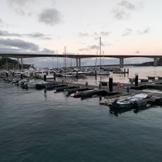
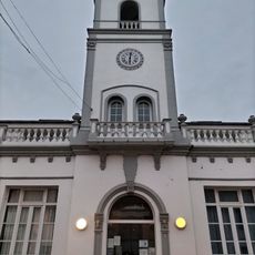
The area became known over 400 years ago as the site where corn from the Americas was first cultivated, fundamentally changing local food practices. In the 19th century the harbor developed as an important trading center, and the Church of San Esteban built in 1896 documents the economic prosperity of that era.

Tapia de Casariego is shaped by maritime tradition visible in its streets and port life. The community marks its connection to the sea through celebrations like the procession of Our Lady of Carmen, which honors sailors, and through the daily use of the harbor as a living gathering place with bars and terraces.

The area is accessible by car via highway A-8, and bus connections link it to major cities like Oviedo and Gijon. In summer the village can become crowded, so arriving early to find parking is advisable, especially at the free parking area directly beside Anguileiro beach.

A large eucalyptus tree planted in 1870 stands in the town center and is among the largest in the region. The tree provides nesting places for various animal species and is preserved by the community as a natural symbol of the area's history and resilience.

The community of curious travelers

AroundUs brings together thousands of curated places, local tips, and hidden gems, enriched daily by 60,000 contributors worldwide.

Start exploring
Capital city
Tapia
Elevation above the sea
645 m
Part of
Mancomunitat Occidental
Shares border with
Castropol, El Franco
GPS coordinates
43.56920,-6.94370
Latest update
February 17, 2026 01:20
Reviews
Share your experience

No review yet

Discussions
Start a discussion...

No discussion yet

« Tapia de Casariego - municipality in Asturias » is provided by Around Us (aroundus.com). Images and texts are derived from Wikimedia project under a Creative Commons license. You are allowed to copy, distribute, and modify copies of this page, under the conditions set by the license, as long as this note is clearly visible.

Discover hidden gems everywhere you go!

From secret cafés to breathtaking viewpoints, skip the crowded tourist spots and find places that match your style. Our app makes it easy with voice search, smart filtering, route optimization, and insider tips from travelers worldwide. Download now for the complete mobile experience.

Around Us App Screenshot

A unique approach to discovering new places

Le Figaro

All the places worth exploring

France Info

A tailor-made excursion in just a few clicks

20 Minutes

Around Us
Travel Guide & Maps
Download

Send to your phone

QR Code
1

Open the camera app on your mobile.

2

Point at the QR code with your camera. A notification will appear.

3

Tap the notification to open the link.