Enable Location

We need your location to show you interesting places around you

Discover nearby places

Find interesting locations and hidden gems around you

Precise directions

Get accurate directions and distances to places

Your location is never shared with other users. It's only used when you tap the location button.

El Espinar

Log in to your account

Start exploring — it's free

Trusted by 62,103 travelers worldwide

Continue with Google
Continue with Apple
or

We will send you a code to connect

By continuing, you accept our Terms and Conditions and our Privacy Policy

Check your inbox

We've sent a pincode in your inbox. Please enter the code below.

El Espinar

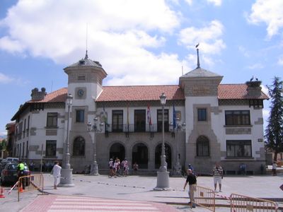
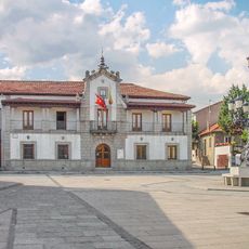
El Espinar, Municipality and administrative division in Segovia Province, Spain

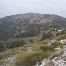
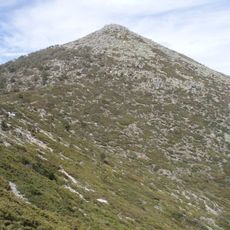
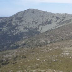
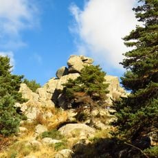
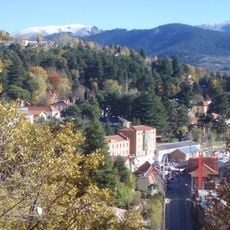
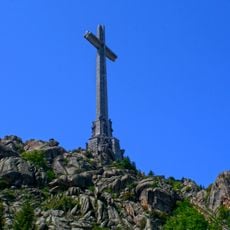
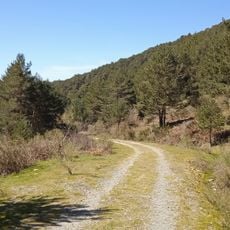
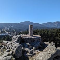
El Espinar is a municipality in Segovia Province located in the Sistema Central mountain range at roughly 1,200 meters elevation. The town sits within a landscape of forests and open meadows typical of this region.

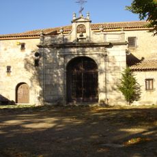
People settled in this area during the Iron Age, as shown by discoveries at the Canto Los Hierros site. The region later developed as a rural area shaped by livestock farming traditions.

The municipality maintains strong connections to traditional sheep farming practices, which significantly influenced the local economy throughout the 18th century.

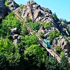
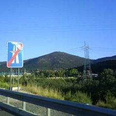
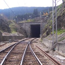
The municipality is accessible by train from Madrid and Segovia and lies along two toll motorways. The location works well as a base for exploring the surrounding mountain region.

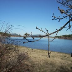
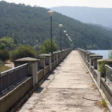
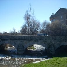
The Moros River has natural swimming spots where visitors can cool off on warm days. The area also hosts an international tennis tournament that draws players and spectators throughout the year.

The community of curious travelers

AroundUs brings together thousands of curated places, local tips, and hidden gems, enriched daily by 60,000 contributors worldwide.

Start exploring
Location
Capital city
El Espinar
Elevation above the sea
1,191 m
Part of
Mancomunidade Intermunicipal de los Ángeles de San Rafael
Shares border with
Los Molinos, Guadarrama, Peguerinos, Santa María de la Alameda, Las Navas del Marqués, Navas de San Antonio, Vegas de Matute, Otero de Herreros, Ortigosa del Monte, La Losa, Navas de Riofrío, Real Sitio de San Ildefonso, Cercedilla
GPS coordinates
40.71861,-4.24778
Latest update
December 20, 2025 15:38
« El Espinar - Municipality and administrative division in Segovia Province, Spain » is provided by Around Us (aroundus.com). Images and texts are derived from Wikimedia project under a Creative Commons license. You are allowed to copy, distribute, and modify copies of this page, under the conditions set by the license, as long as this note is clearly visible.

Discover hidden gems everywhere you go!

From secret cafés to breathtaking viewpoints, skip the crowded tourist spots and find places that match your style. Our app makes it easy with voice search, smart filtering, route optimization, and insider tips from travelers worldwide. Download now for the complete mobile experience.

Around Us App Screenshot

A unique approach to discovering new places

Le Figaro

All the places worth exploring

France Info

A tailor-made excursion in just a few clicks

20 Minutes

Around Us
Travel Guide & Maps
Download

Send to your phone

QR Code
1

Open the camera app on your mobile.

2

Point at the QR code with your camera. A notification will appear.

3

Tap the notification to open the link.