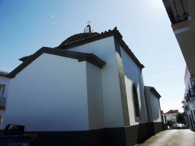
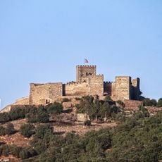
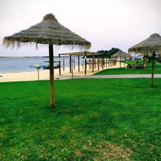
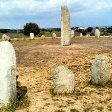
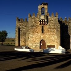
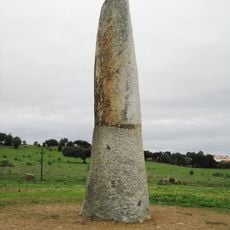
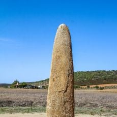
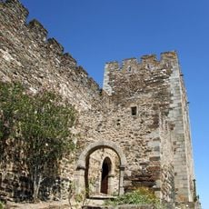
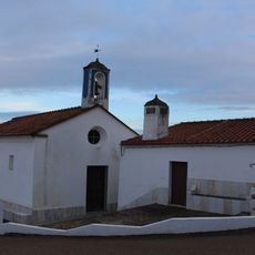
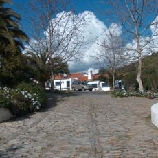
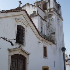
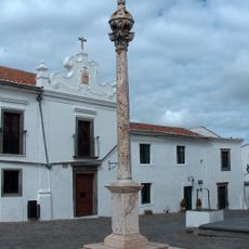
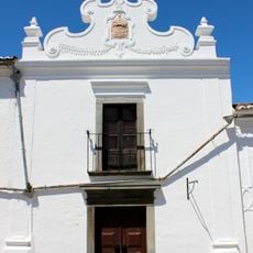
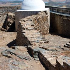
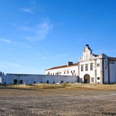
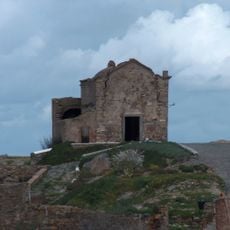
Cheles, municipality of Spain
Location: Badajoz Province
Capital city: Cheles
Elevation above the sea: 197 m
Website: http://www.cheles.es
Part of: Mancomunitat Integral de la Comarca de Olivenza
Shares border with: Alconchel, Alandroal
Website: http://cheles.es
GPS coordinates: 38.51222,-7.28028
Latest update: March 28, 2025 12:23
Praia Fluvial de Monsaraz
10.6 km
Castelo de Monsaraz
11.6 km
Conjunto megalítico da Herdade do Xerez
10.3 km
Santuario de Nuestra Señora de la Buena Nueva
15.5 km
Menir da Abelhoa
10.5 km
Menir do Outeiro
10.9 km
Conjunto megalítico do Olival da Pêga
12.3 km
Castillo de Alconchel
18.5 km
Castle of Terena
16.4 km
Playa de Cheles
4.1 km
Praia Fluvial de Azenhas d'El Rei
4.4 km
Igreja Paroquial de Monsaraz
11.6 km
Igreja Paroquial de Terena
16.4 km
Ermida de Santa Catarina de Monsaraz
11 km
Ponte Velha de Terena
17.2 km
Pelourinho de Terena
16.4 km
Capela de Santo António
16.6 km
Igreja Paroquial de São Brás dos Matos
19.2 km
Hotel Rural "Horta da Moura"
12.7 km
Igreja da Santa Casa da Misericórdia de Terena
16.4 km
Pelourinho de Monsaraz
11.7 km
Igreja da Misericórdia de Monsaraz
11.7 km
Ermida-Qubba de São João Baptista
11.5 km
Convento da Orada
10.3 km
Ermida de São Bento
11.3 km
Fonte e Chafariz do Telheiro
11 km
Chapel of São José
11.6 km
Gafaria e Ermida de São Lázaro
11.4 kmReviews
Visited this place? Tap the stars to rate it and share your experience / photos with the community! Try now! You can cancel it anytime.
Discover hidden gems everywhere you go!
From secret cafés to breathtaking viewpoints, skip the crowded tourist spots and find places that match your style. Our app makes it easy with voice search, smart filtering, route optimization, and insider tips from travelers worldwide. Download now for the complete mobile experience.
A unique approach to discovering new places❞
— Le Figaro
All the places worth exploring❞
— France Info
A tailor-made excursion in just a few clicks❞
— 20 Minutes