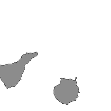
El Hierro, Volcanic island in Canary Islands, Spain
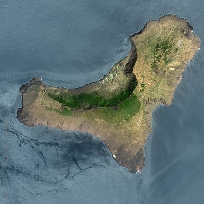
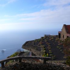
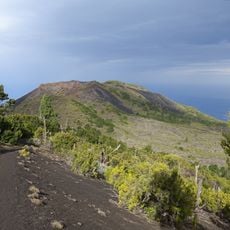
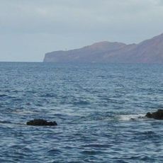
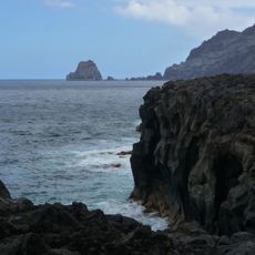
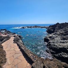
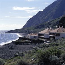
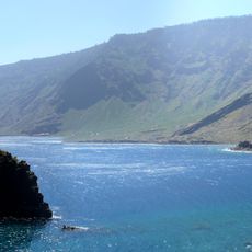
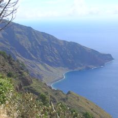
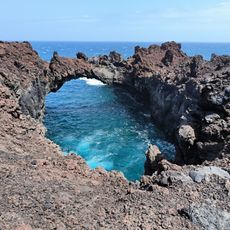
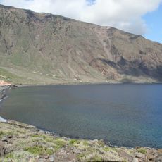
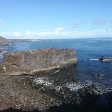
El Hierro is a volcanic island in Santa Cruz de Tenerife Province with steep slopes, lava caves, and a rugged coastline. The island covers roughly 278 square kilometers and rises from sea level to a summit 1,501 meters above the Atlantic.
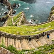
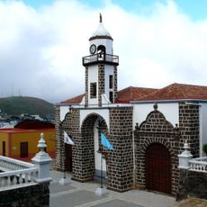
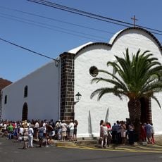
The Bimbache inhabited the island until the Castilian conquest in the 15th century, developing terraced agriculture on the volcanic slopes. It later served as a departure point for Atlantic crossings and became the westernmost point of the known world on old maps.
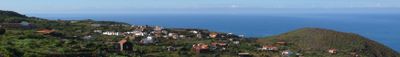
The name means "iron," though no metal deposits exist here; instead, locals believe early sailors mistook the rust-colored rocks along the western shore for ore. Shepherds still move their flocks between the high pastures and coastal grazing lands following centuries-old routes.
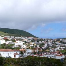
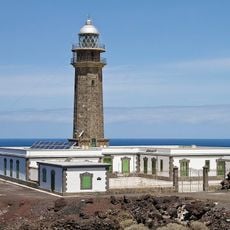
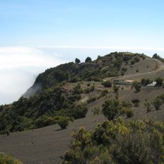
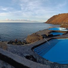
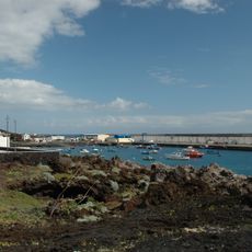
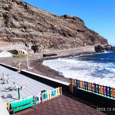
Ferries dock at the harbor town of La Restinga and connect the island with Tenerife, while the small airport near Valverde offers direct flights. Hiking trails cross cloud forests and lava fields, but the coast often shows rough conditions with strong waves and wind.
A combined wind and hydroelectric plant supplies the entire island with electricity from renewable sources without external input. The facility stores excess energy by pumping seawater uphill into a mountain reservoir and generates power on demand by releasing it back down.
The community of curious travelers
AroundUs brings together thousands of curated places, local tips, and hidden gems, enriched daily by 60,000 contributors worldwide.