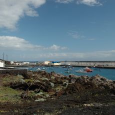
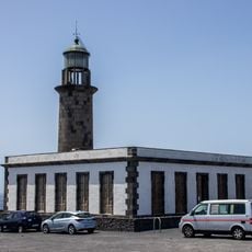
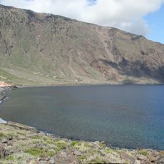
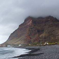
Tanganasoga, Volcanic formation in El Hierro, Canary Islands, Spain
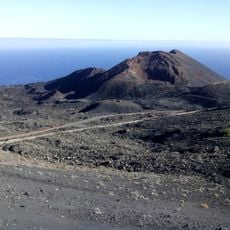
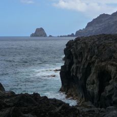
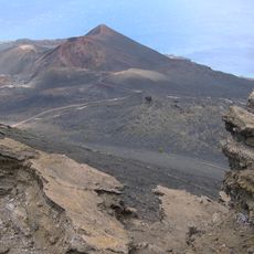
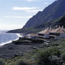
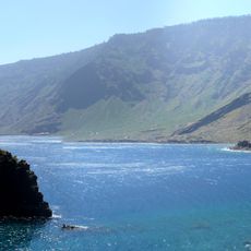
Tanganasoga is a Holocene cinder cone rising to 1,384 m in the El Golfo valley, La Frontera, El Hierro. Its main eruptive centre sits near the western crest of the valley scarp, and a north–south fracture holds five of its emission centres. It is the largest Holocene volcano on the island, with a second WNW–ESE lineament and lava flows reaching the sea near Sabinosa.
Tanganasoga is a Holocene edifice whose oldest materials date to 6.74 ka, formed near the top of the headwall of the El Golfo landslide, which collapsed the island's northern flank about 15,000 years ago. Paleomagnetic studies place the Lomo Negro eruption, linked to this volcano, between 1500 and 1600. The English scientist Thomas Young, in his 1807 Course of Lectures, recorded a 1777 eruption, and Thomas Tegg's 1811 chronology gave it an exact date.
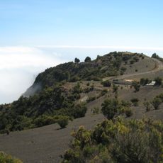
Tanganasoga lies within the Parque Rural de Frontera, and its upper slopes above 300 m are protected as a Lugar de Importancia Comunitaria, ZEC and ZEPA bird area. The whole island, including the volcano, forms part of the El Hierro biosphere reserve and geopark. Its name is used locally for the volcano and the surrounding El Golfo terrain.
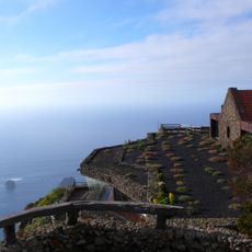
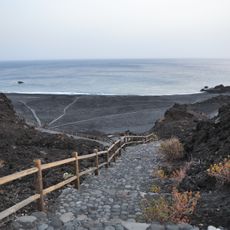
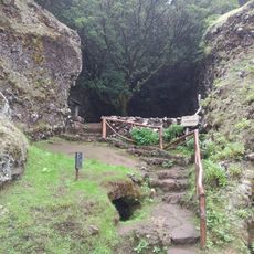
Well-marked trails connect several viewpoints around the volcanic cone, giving good views of the rock faces and local plant life. Wear sturdy footwear since the ground is uneven and can be slippery in places.
Tanganasoga is one of the few volcanic edifices on El Hierro where phreatomagmatic episodes have been recorded. An ash deposit linked to these pulses covers roughly 15 km2, averaging 50 cm thick, made of fine, grey, laminated unwelded material topped by a layer of black lapilli.
The community of curious travelers
AroundUs brings together thousands of curated places, local tips, and hidden gems, enriched daily by 94,839 contributors worldwide.