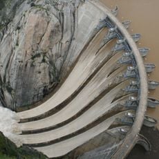
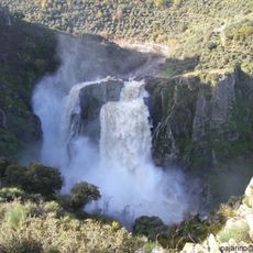
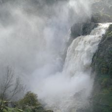
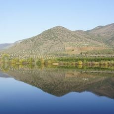
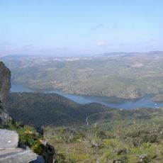
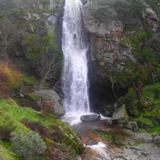
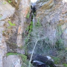
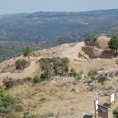
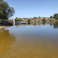
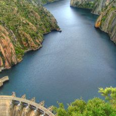
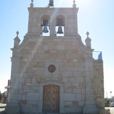
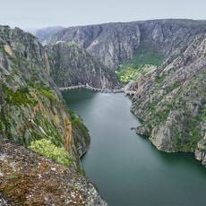
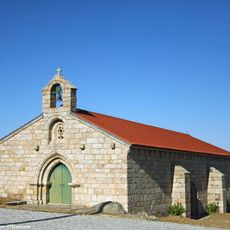
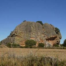
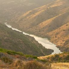
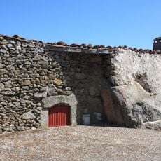
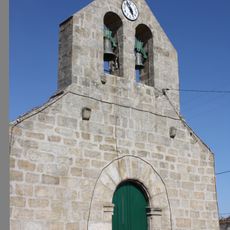
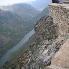
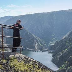
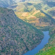
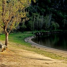
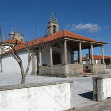
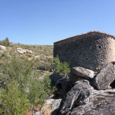
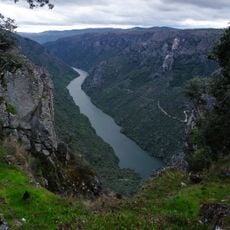
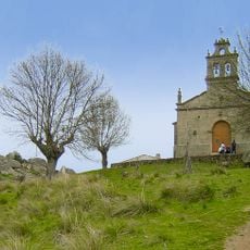
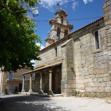
Masueco, municipality in the province of Salamanca, Castile and León, Spain
Location: Province of Salamanca
Capital city: Masueco
Elevation above the sea: 684 m
Part of: Mancomunitat «Centro Duero»
Shares border with: Pereña de la Ribera, La Peña, Cabeza del Caballo, La Zarza de Pumareda, Aldeadávila de la Ribera, Mogadouro
Website: http://masueco.es
GPS coordinates: 41.20345,-6.58887
Latest update: March 27, 2025 20:59
Aldeadávila Dam
8.2 km
Pozo de los Humos
2.2 km
Arribes del Duero Natural Park
1.6 km
International Douro Natural Park
466 m
La Ribera
3.1 km
Pozo Airón
5.4 km
Pozo de los Lirios
3 km
Church of Saint Saviour
3.1 km
Castelo dos Mouros de Vilarinho dos Galegos
6 km
El Rocoso
3.3 km
Aldeadávila Reservoir
7.2 km
Igreja Paroquial de Bemposta
13.7 km
Mirador del Fraile
7.8 km
Igreja Paroquial de Algosinho
11.1 km
La Peña Gorda
7.1 km
La Rachita viewpoint
11.9 km
Muralha da Bemposta
13.8 km
Igreja Paroquial de Vila dos Sinos
9.3 km
Mirador del Aguila, Mieza
12 km
Picón de Felipe viewpoint
7.6 km
Viewpoint of the Aldeadávila dam
8.3 km
Mirador de la Ermita de Nuestra Señora del Castillo
8.4 km
Playa del Rostro
4.6 km
Capela do Senhor da Boa Morte (Mogadouro)
8.8 km
Molino de Lucas
9.8 km
Mirador del Colagón del Tío Paco
9.9 km
Chapel of Our Lady of the Castle
8.4 km
Church of Saint Mary Magdalene, Cabeza del Caballo
8.5 kmVisited this place? Tap the stars to rate it and share your experience / photos with the community! Try now! You can cancel it anytime.
Discover hidden gems everywhere you go!
From secret cafés to breathtaking viewpoints, skip the crowded tourist spots and find places that match your style. Our app makes it easy with voice search, smart filtering, route optimization, and insider tips from travelers worldwide. Download now for the complete mobile experience.
A unique approach to discovering new places❞
— Le Figaro
All the places worth exploring❞
— France Info
A tailor-made excursion in just a few clicks❞
— 20 Minutes