Cebolla, municipality of Spain
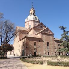
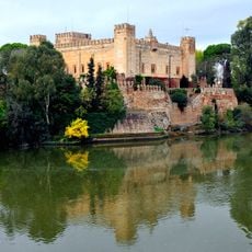
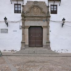
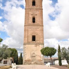
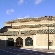
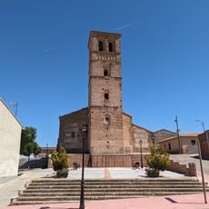
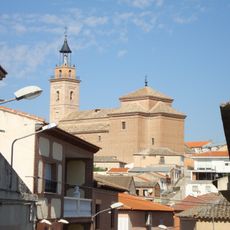
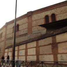
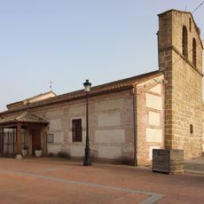
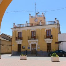
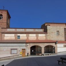
Cebolla is a small municipality in Toledo Province that borders the Tajo river and has a long history as a local administrative unit. The place is characterized by historic buildings made of red brick, narrow streets, and a church dedicated to Saint Cipriano with a four-part tower topped by a Christ statue.
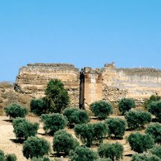
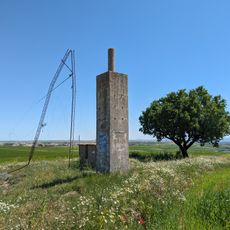
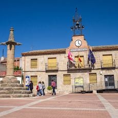
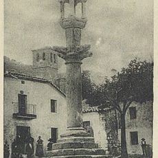
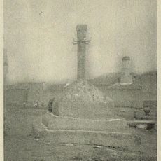
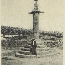
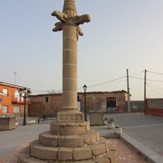
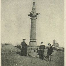
The settlement developed around a mosque that was later replaced by the Church of Saint Cipriano, marking the religious transformation of the medieval period. The area contains remains of an old castle called Villalba and a roughly 5-meter-high stone pillar from the 15th century that served as a justice marker, showing the administrative importance of the place.
The name comes from Arabic roots, either meaning "hill" or "God has made me," reflecting the medieval past of the area. Residents keep their traditions alive through celebrations like San Blas in January and Carnival in February, when people gather in squares and streets to honor these customs together.
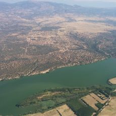
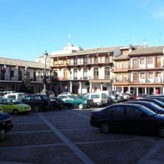
The place is easy to explore on foot and sits within reach of Madrid, making it accessible as a day trip. Parking is available near the main sights, and a roughly 30-minute walk on good paths leads to the nearby Tajo river.
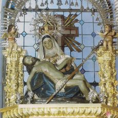
The painting of Saint Cipriano's martyrdom inside the church was created in the late 1600s and shows skilled artistry from a lesser-known period of local history. Equally worth noting are the small chapels like those of San Illan and San Blas scattered through the landscape and often overlooked by visitors.
The community of curious travelers
AroundUs brings together thousands of curated places, local tips, and hidden gems, enriched daily by 60,000 contributors worldwide.