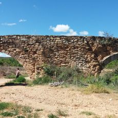
Alhama de Aragón, municipality of Spain
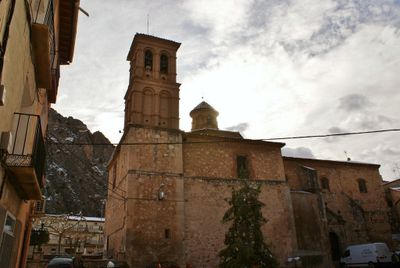
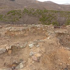
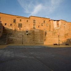
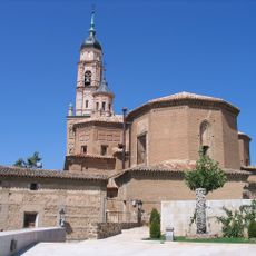
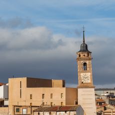
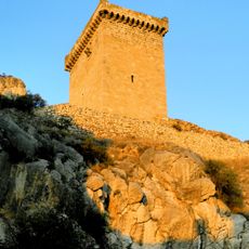
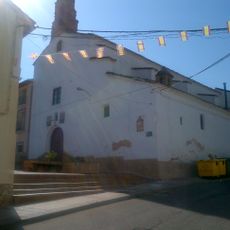
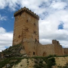
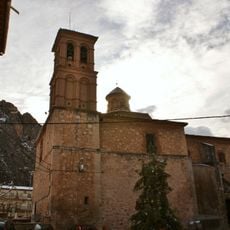
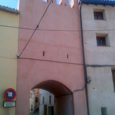
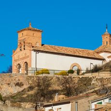
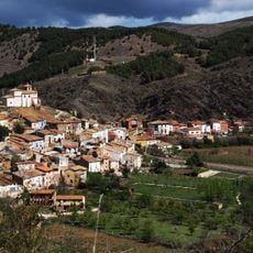
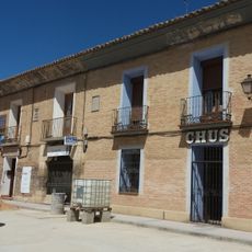
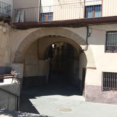
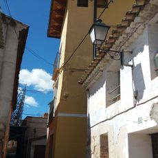
Alhama de Aragón is a small town in Zaragoza province known for thermal springs that flow at a steady warm temperature year-round. The settlement features narrow winding streets, a church with mudéjar style details, hilltop fortress remains, and spa facilities that use the mineral-rich waters.
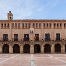
Romans and Arabs first recognized the healing properties of the thermal springs, establishing the place as a health destination over many centuries. The town later became an important trading stop on ancient routes and grew significantly in the late 1800s and early 1900s with new modernist buildings.
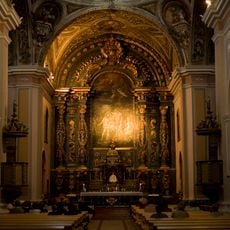
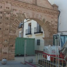
The name comes from Arab words meaning hot spring, reflecting centuries of use by different peoples. The narrow streets and old church with mudéjar decorations show how Christian and Muslim cultures shaped the town together over time.
The town is easy to explore on foot through the old center, with steep lanes leading to the hilltop fortress. The thermal baths at Balneario Termas Pallarés and Hotel Balneario Alhama de Aragón operate year-round, offering bathing and spa treatments using the natural mineral water.
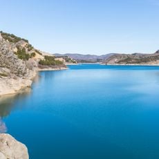
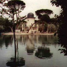
A thermal lake within the town maintains warm water at about 34 degrees Celsius year-round, making it swimmable regardless of outside weather. This natural heat source has attracted people for thousands of years and remains the reason visitors come to rest and seek healing.
The community of curious travelers
AroundUs brings together thousands of curated places, local tips, and hidden gems, enriched daily by 60,000 contributors worldwide.