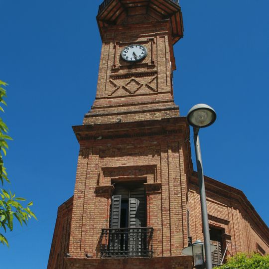
Nerva, municipality of Spain
The community of curious travelers
AroundUs brings together thousands of curated places, local tips, and hidden gems, enriched daily by 60,000 contributors worldwide.

Riotinto-Nerva mining basin
2.8 km
Corta Atalaya
4.8 km
Rio Tinto Mining Park
4.2 km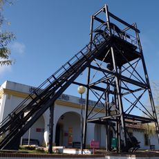
Riotinto Mining Museum
4.2 km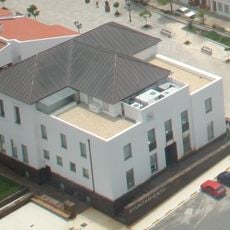
Casa consistorial de Minas de Riotinto
3.8 km
Casa 21
4.3 km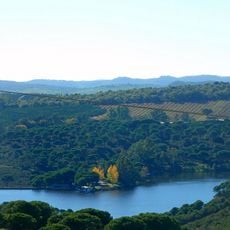
Embalse de Zumajo
4.6 km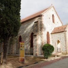
Capilla presbiteriana
4.3 km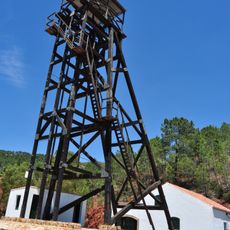
Malacate del Pozo Maestro de Peña del Hierro
3.3 km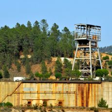
Pozo Rotilio
827 m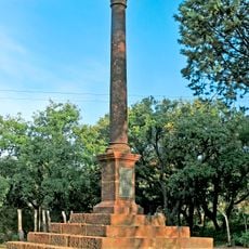
Cemetery of Rio Tinto Mines
4 km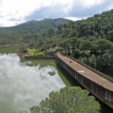
Embalse de Campofrío
6.7 km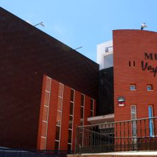
Museo Vázquez Díaz
130 m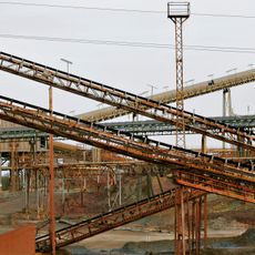
Unidad industrial Cerro Colorado
4 km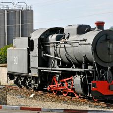
Rio Tinto 201
3.9 km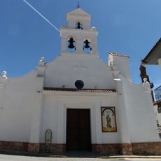
Iglesia de San Bartolomé
197 m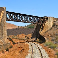
Puente Gurugú
1.5 km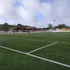
Campo de Fútbol
4 km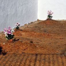
Cemetery of Nerva
1.1 km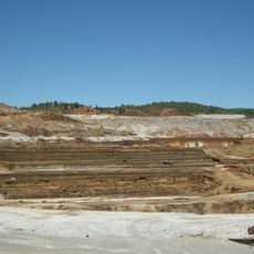
Canaleos de la Cementación Naya
2.2 km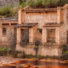
Túnel del piso 11
2.2 km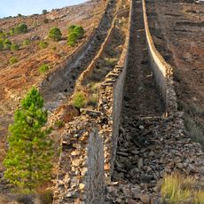
Chimeneas de la fundición de piritas
1.8 km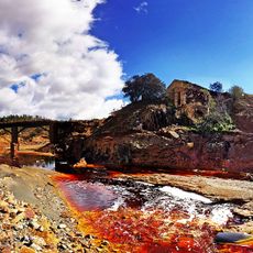
Puente de Lavadoras
2.5 km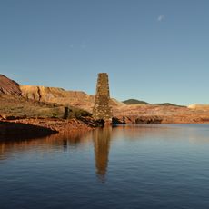
Chimenea de fundición de Corral Cerda
1.6 km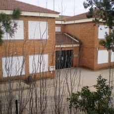
Colegio Virgen del Rosario
3.7 km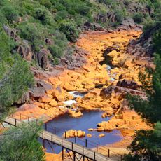
Puente-Pasarela sobre el río Tinto
5.4 km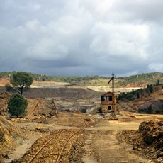
Riotinto mining landscape
4.2 km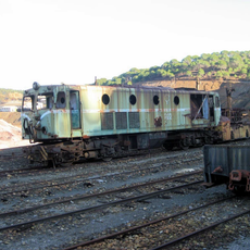
Locomotive 922 (Rio Tinto)
2.9 kmDiscover hidden gems everywhere you go!
From secret cafés to breathtaking viewpoints, skip the crowded tourist spots and find places that match your style. Our app makes it easy with voice search, smart filtering, route optimization, and insider tips from travelers worldwide. Download now for the complete mobile experience.

A unique approach to discovering new places❞
— Le Figaro
All the places worth exploring❞
— France Info
A tailor-made excursion in just a few clicks❞
— 20 Minutes
