
Moreruela de los Infanzones, municipality of Zamora Province, Spain
Location: Zamora Province
Capital city: Moreruela de los Infanzones
Elevation above the sea: 667 m
Part of: Mancomunidad Norte-Duero
Shares border with: Piedrahita de Castro, Cubillos
GPS coordinates: 41.63139,-5.70694
Latest update: April 9, 2025 17:39
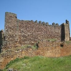
Castrotorafe
12.6 km
Castle of Castrotorafe
12.7 km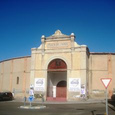
Plaza de toros de Zamora
13.9 km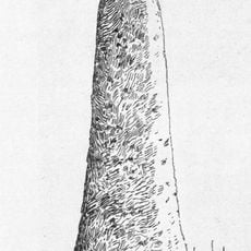
Cruz del Rey Don Sancho
13.2 km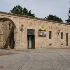
Museo Baltasar Lobo
14.3 km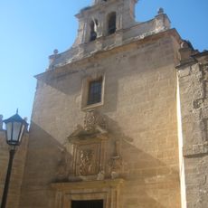
Church of San Torcuato, Zamora
14.2 km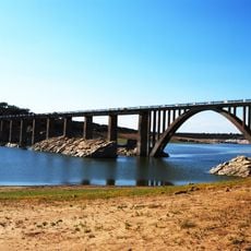
Bridge of La Estrella of 1933
11.8 km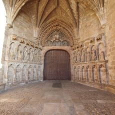
Church of Santa María la Real, La Hiniesta
11.7 km
Centro Cultural Palacio de La Alhóndiga
14.2 km
Church of San Esteban, Zamora
14.3 km
Bridge of La Estrella of 1869
12.9 km
Cisternas romanas de Molacillos
4.2 km
Church of San Lázaro, Zamora
14.4 km
Caja de Ahorros Provincial de Zamora
14.1 km
Cine Barrueco
14.2 km
Church of San Martín, Molacillos
6.7 km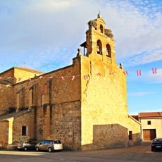
Church of the Assumption, Coreses
11.6 km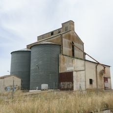
Silo of Piedrahíta de Castro II
5.5 km
Casa de Valentín Matilla
14.2 km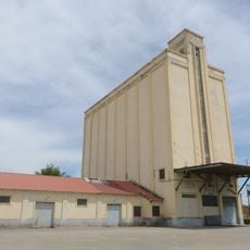
Silo of Manganeses de la Lampreana
13.3 km
Casa de Cándido Calvo
14.2 km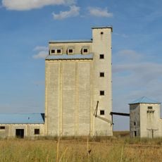
Silo of Piedrahíta de Castro
5.4 km
Viviendas B. Pinilla
14.1 km
Casa Galarza
14.4 km
Casa de Valentín Guerra
14.2 km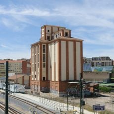
Silo of Zamora
13.4 km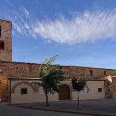
Church of La Asunción, Cubillos
6.9 km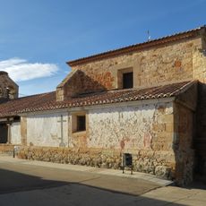
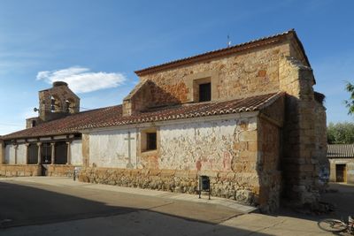
Church of San Pedro
161 mVisited this place? Tap the stars to rate it and share your experience / photos with the community! Try now! You can cancel it anytime.
Discover hidden gems everywhere you go!
From secret cafés to breathtaking viewpoints, skip the crowded tourist spots and find places that match your style. Our app makes it easy with voice search, smart filtering, route optimization, and insider tips from travelers worldwide. Download now for the complete mobile experience.

A unique approach to discovering new places❞
— Le Figaro
All the places worth exploring❞
— France Info
A tailor-made excursion in just a few clicks❞
— 20 Minutes