
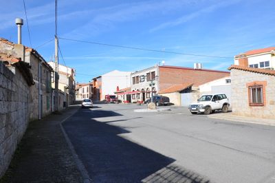
Martiherrero, municipality of Spain
Location: Province of Ávila
Capital city: Martiherrero
Elevation above the sea: 1,230 m
Part of: Mancomunidade Valle de Amblés
Shares border with: Ávila, La Colilla, Sanchorreja, Marlín, Bularros, Casasola
Website: http://martiherrero.es
GPS coordinates: 40.67406,-4.78114
Latest update: March 3, 2025 02:18
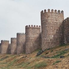
Walls of Ávila
6.5 km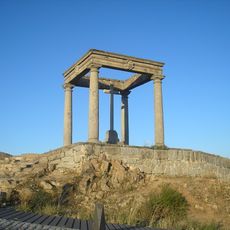
Cuatro Postes in Ávila
6.1 km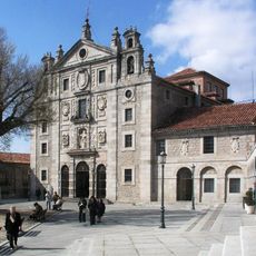
Iglesia-convento de Santa Teresa
6.9 km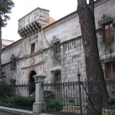
Palacio de Polentinos
6.9 km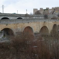
Roman bridge of Ávila
6.4 km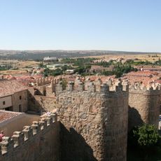
Old Town of Ávila with its Extra-Muros Churches
6.9 km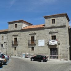
Palace of Superunda
7 km
Hermitage of San Segundo, Ávila
6.4 km
Fuentes Claras reservoir
6 km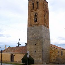
Church of San Martín
7 km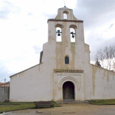
Chapel of Nuestra Señora de la Cabeza
6.8 km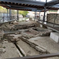
Old tanneries in Ávila
6.4 km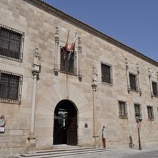
Palacio de Blasco Núñez Vela
6.9 km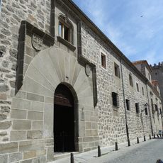
Palacio de los Almarza
7 km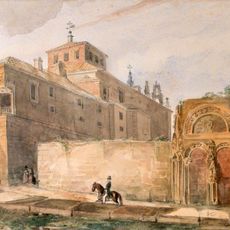
Hospital de Santa Escolástica
6.9 km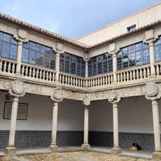
Palacio polentinos
6.9 km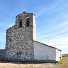
Church of Nuestra Señora de la Asunción, Casasola
2.5 km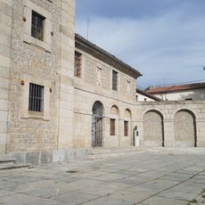
Santa Teresa de Jesús
6.9 km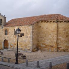
Church of San Esteban
6.7 km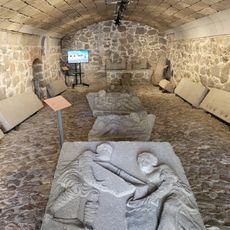
Las Bóvedas del Carmen, Ávila
6.9 km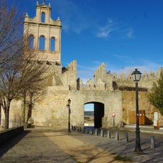
Puerta del Carmen
6.8 km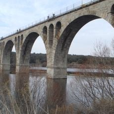
Puente del Ferrocarril
5.9 km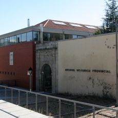
Archivo Histórico Provincial de Ávila
6.8 km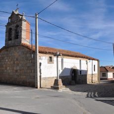
Church of Nuestra Señora de la Asunción
47 m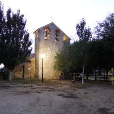
Church of the Assumption, La Colilla
3.4 km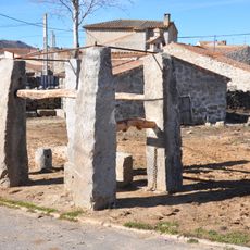
Potro de herrar, Casasola
3.8 km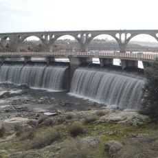
Fuentes Claras dam
5.8 km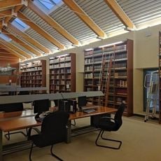
Biblioteca Auxiliar del Archivo Histórico Provincial de Ávila
6.9 kmReviews
Visited this place? Tap the stars to rate it and share your experience / photos with the community! Try now! You can cancel it anytime.
Discover hidden gems everywhere you go!
From secret cafés to breathtaking viewpoints, skip the crowded tourist spots and find places that match your style. Our app makes it easy with voice search, smart filtering, route optimization, and insider tips from travelers worldwide. Download now for the complete mobile experience.

A unique approach to discovering new places❞
— Le Figaro
All the places worth exploring❞
— France Info
A tailor-made excursion in just a few clicks❞
— 20 Minutes