
El Payo, municipality in Salamanca, Spain
Location: Province of Salamanca
Capital city: El Payo
Elevation above the sea: 934 m
Part of: Mancomunidad «Alto Águeda»
Shares border with: Gata, Acebo, San Martín de Trevejo, Eljas, Navasfrías, Casillas de Flores, Fuenteguinaldo, Peñaparda
GPS coordinates: 40.28750,-6.72667
Latest update: March 7, 2025 19:27
Sierra de Gata
6.3 km
El Rebollar
13.6 km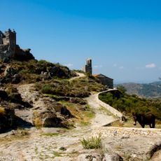
Castle of Trevejo
13.6 km
Jálama
5.9 km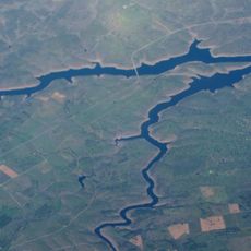
Irueña Reservoir
21.3 km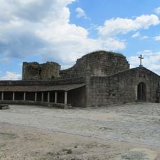
Castle of Alfaiates
19.4 km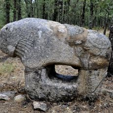
Castro de Irueña
11.6 km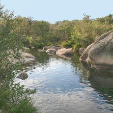
Campo de Robledo
22.7 km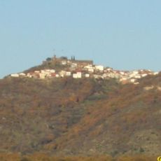
Castillo de Santibáñez el Alto
18.9 km
El Rebollar and Los Agadones Protected Area
14.1 km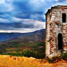
Castle of Eljas
12.9 km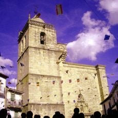
Iglesia de Nuestra Señora de los Ángeles
9.6 km
Iglesia del Buen Varón
13 km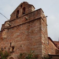
Iglesia de Nuestra Señora de la Concepción
16.9 km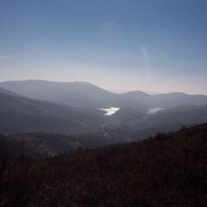
Site of Community Importance Malcata
19.8 km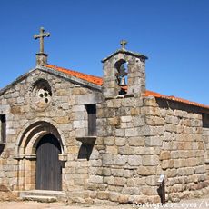
Igreja da Santa Casa da Misericórdia de Alfaiates
19.8 km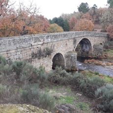
Villar bridge
4.6 km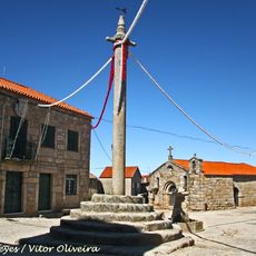
Pelourinho de Alfaiates
19.7 km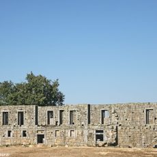
Convento de Sacaparte
19.8 km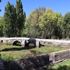
Ponte antiga da Aldeia da Ponte
18.7 km
Conjunto histórico de Gata, Cáceres
12.4 km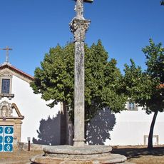
Cruzeiro de Sacraparte
19.8 km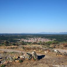
Sabugal Velho
14.9 km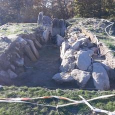
Dolmen of the House of the Moor, Casillas de Flores
6.9 km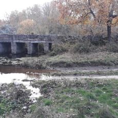
Mazo de Prado Álvaro Bridge
6 km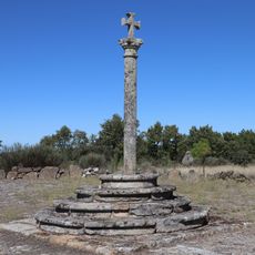
Cruzeiro da Aldeia da Ponte
18.7 km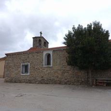
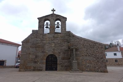
Church of Santiago Apóstol, El Payo
219 m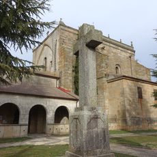
Iglesia de Nuestra Señora de la Asunción, Robleda
15 kmReviews
Visited this place? Tap the stars to rate it and share your experience / photos with the community! Try now! You can cancel it anytime.
Discover hidden gems everywhere you go!
From secret cafés to breathtaking viewpoints, skip the crowded tourist spots and find places that match your style. Our app makes it easy with voice search, smart filtering, route optimization, and insider tips from travelers worldwide. Download now for the complete mobile experience.

A unique approach to discovering new places❞
— Le Figaro
All the places worth exploring❞
— France Info
A tailor-made excursion in just a few clicks❞
— 20 Minutes