
Saceruela, municipality in Ciudad Real Province, Castile-La Mancha, Spain
Location: Province of Ciudad Real
Capital city: Saceruela
Elevation above the sea: 585 m
Part of: Mancomunitat «Ríos Esteras, Valdeazogues y Alcudia»
Shares border with: Abenójar, Valdemanco del Esteras
Website: http://saceruela.es
GPS coordinates: 38.94341,-4.60830
Latest update: March 20, 2025 07:36

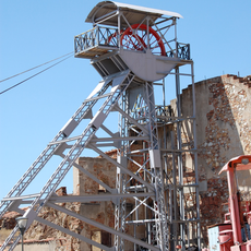
Almadén Mine
27.9 km
Sisapo
34 km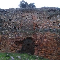
Castle of Herrera del Duque
44 km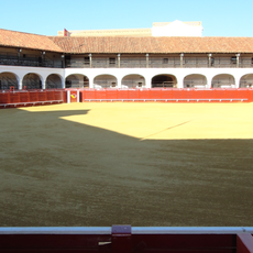
Bullring of Almadén
26.8 km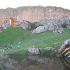
Castillo de Miraflores
37.3 km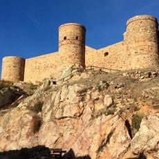
Castle of Capilla
43.5 km
Las Higueruelas
46 km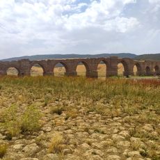
Puente de la Mesta
35 km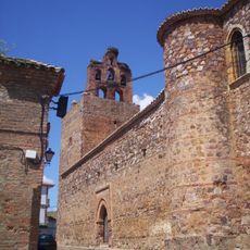
Iglesia de San Juan Bautista
27.7 km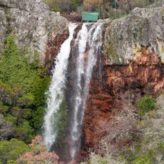
Chorrera de Horcajo
46.5 km
Horno de Bustamante
27.9 km
Iglesia de San Juan Bautista, Herrera del Duque
45.2 km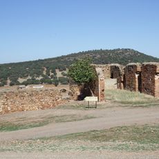
Cerco de Buitrones
24.3 km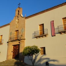
Real Hospital de Mineros de San Rafael
27.1 km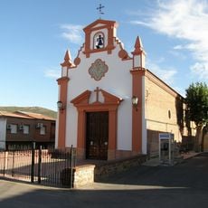
Ermita del Santísimo Cristo de la Antigua
38.7 km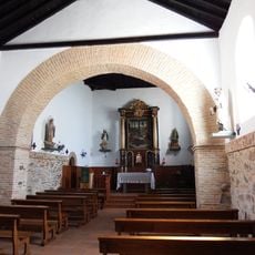
Iglesia de Nuestra Señora de la Consolación, Alcoba de los Montes
37.1 km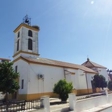
Iglesia de la Purísima Concepción, Alamillo
33.6 km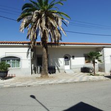
Biblioteca Pública Municipal de Abenójar
23 km
Biblioteca Pública Municipal de Agudo
23.2 km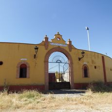
Bullring of Alamillo
33.9 km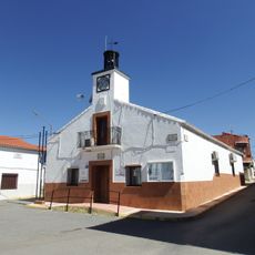
Town Hall of Alamillo
33.6 km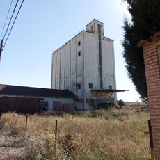
Silo of Abenójar
23.5 km
Sisapo amphitheatre
34 km
Bullring of Almadenejos
24.4 km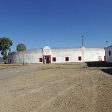
Bullring of Agudo
24.2 km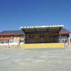
Granero de Saceruela
424 m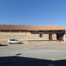
Granero de Agudo
23.3 km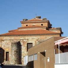
Church of San Benito Abad, Agudo
23.2 kmVisited this place? Tap the stars to rate it and share your experience / photos with the community! Try now! You can cancel it anytime.
Discover hidden gems everywhere you go!
From secret cafés to breathtaking viewpoints, skip the crowded tourist spots and find places that match your style. Our app makes it easy with voice search, smart filtering, route optimization, and insider tips from travelers worldwide. Download now for the complete mobile experience.

A unique approach to discovering new places❞
— Le Figaro
All the places worth exploring❞
— France Info
A tailor-made excursion in just a few clicks❞
— 20 Minutes