Enable Location

We need your location to show you interesting places around you

Discover nearby places

Find interesting locations and hidden gems around you

Precise directions

Get accurate directions and distances to places

Your location is never shared with other users. It's only used when you tap the location button.

Candelario

Log in to your account

Start exploring — it's free

Trusted by 62,501 travelers worldwide

Continue with Google
Continue with Apple
or

We will send you a code to connect

By continuing, you accept our Terms and Conditions and our Privacy Policy

Check your inbox

We've sent a pincode in your inbox. Please enter the code below.

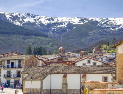
Candelario, Mountain municipality in Province of Salamanca, Spain

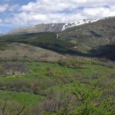
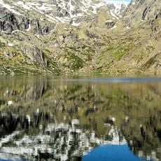
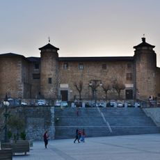
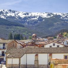
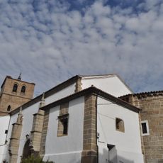
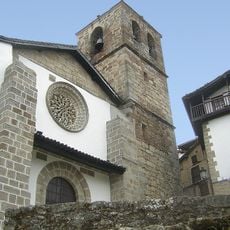
Candelario is a mountain village in the Sierra de Béjar at around 1,100 meters elevation, where narrow lanes run between stone buildings. The houses are tightly packed, and many have kept typical regional features.

The village arose as a mountain settlement and later became a center for sausage production, for which the region was known. The Casa Chacinera, a 19th-century museum house, documents this craft tradition.

The traditional wedding celebration shows regional dress and customs that shape community life here. These festivities reveal much about local values and how people bond together.

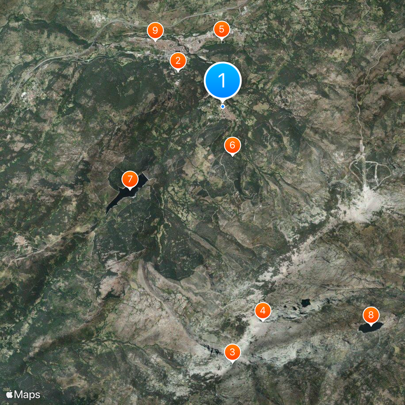
The village is easy to explore on foot since everything lies close together. You should wear sturdy shoes because the lanes are steep and paved with cobblestones.

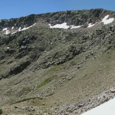
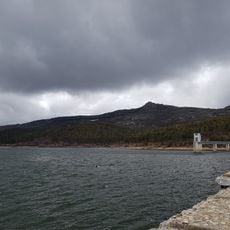
The village sits on an ancient silver trade route that connected western regions of Spain. This historic connection shapes the place's significance even today.

The community of curious travelers

AroundUs brings together thousands of curated places, local tips, and hidden gems, enriched daily by 60,000 contributors worldwide.

Start exploring
Capital city
Candelario
Elevation above the sea
1,136 m
Part of
Mancomunidad «Ruta de la Plata»
Shares border with
Puerto de Béjar, Cantagallo, Béjar, Navacarros, Solana de Ávila, Tornavacas, Jerte, Hervás, La Garganta
GPS coordinates
40.36806,-5.74444
Latest update
December 20, 2025 14:37
« Candelario - Mountain municipality in Province of Salamanca, Spain » is provided by Around Us (aroundus.com). Images and texts are derived from Wikimedia project under a Creative Commons license. You are allowed to copy, distribute, and modify copies of this page, under the conditions set by the license, as long as this note is clearly visible.

Discover hidden gems everywhere you go!

From secret cafés to breathtaking viewpoints, skip the crowded tourist spots and find places that match your style. Our app makes it easy with voice search, smart filtering, route optimization, and insider tips from travelers worldwide. Download now for the complete mobile experience.

Around Us App Screenshot

A unique approach to discovering new places

Le Figaro

All the places worth exploring

France Info

A tailor-made excursion in just a few clicks

20 Minutes

Around Us
Travel Guide & Maps
Download

Send to your phone

QR Code
1

Open the camera app on your mobile.

2

Point at the QR code with your camera. A notification will appear.

3

Tap the notification to open the link.