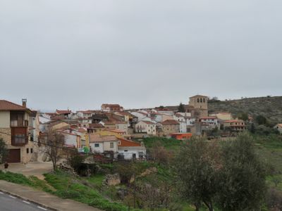
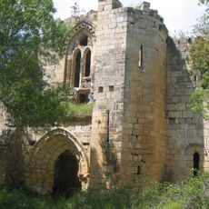
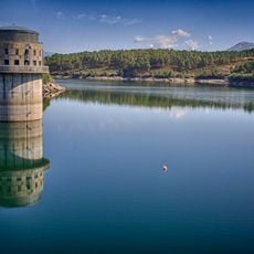
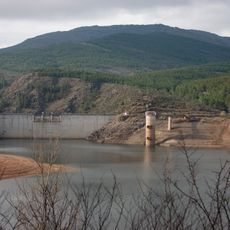
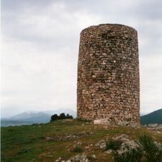
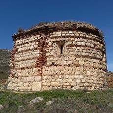
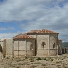
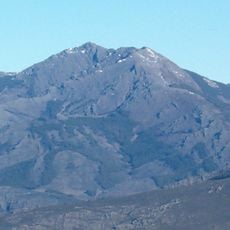
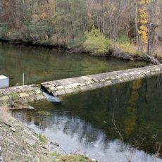
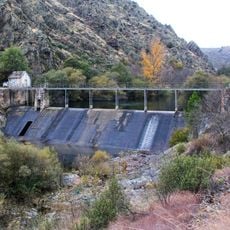
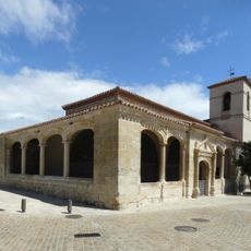
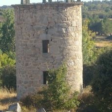
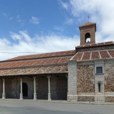
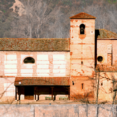
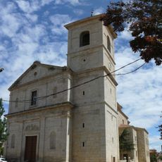
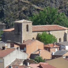
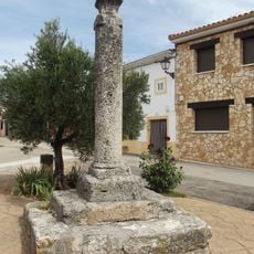
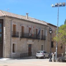
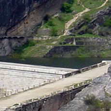
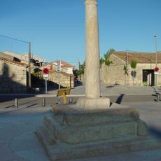
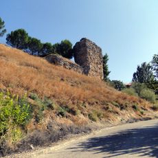
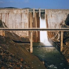
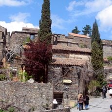
Valdepeñas de la Sierra, municipality in Spain
Location: Guadalajara Province
Capital city: Valdepeñas de la Sierra
Elevation above the sea: 916 m
Part of: Mancomunitat «Campiña Alta»
Shares border with: Uceda, Casa de Uceda, Villaseca de Uceda, Matarrubia, Tortuero, Puebla de Valles, El Atazar, Patones, Puebla de la Sierra
GPS coordinates: 40.90806,-3.38750
Latest update: March 19, 2025 07:51
El Atazar Reservoir
13 km
Pontón de la Oliva
5.2 km
El Atazar Dam
7.2 km
Monastery of Bonaval
10.2 km
El Villar Reservoir
15.3 km
Cave of El Reguerillo
5.5 km
El Vado Reservoir
13.1 km
Watchtower of El Berrueco
13.1 km
Hermitage of Virgen de la Oliva, Patones
5.6 km
Church of Santa María de la Varga
10 km
Peña de La Cabra
13.9 km
Azud de Navarejos
4.8 km
Azud de La Parra
5.4 km
Church of San Pedro
12.2 km
Tower of Mirabel
14.9 km
Church of the Assumption, El Cubillo de Uceda
9.5 km
Church of San Miguel
7.5 km
Church of Nuestra Señora de la Varga
9.8 km
Church of San Juan Bautista
4.3 km
Picota de La Mierla
13.2 km
Uceda Town Hall
9.8 km
Pontón de la Oliva Reservoir
5.3 km
Castle of Uceda
10.1 km
Picota de El Berrueco
14.8 km
Wall of Uceda
10 km
El Vado Dam
12.9 km
Conjunto Histórico de Patones
10 km
Cárcavas de Alpedrete
3.7 kmReviews
Visited this place? Tap the stars to rate it and share your experience / photos with the community! Try now! You can cancel it anytime.
Discover hidden gems everywhere you go!
From secret cafés to breathtaking viewpoints, skip the crowded tourist spots and find places that match your style. Our app makes it easy with voice search, smart filtering, route optimization, and insider tips from travelers worldwide. Download now for the complete mobile experience.
A unique approach to discovering new places❞
— Le Figaro
All the places worth exploring❞
— France Info
A tailor-made excursion in just a few clicks❞
— 20 Minutes