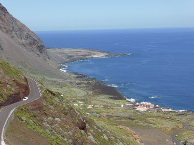
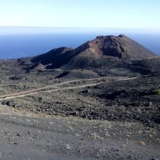
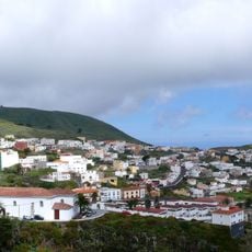
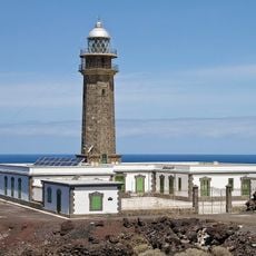
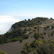
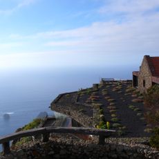
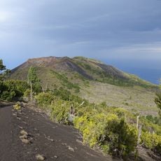
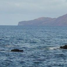
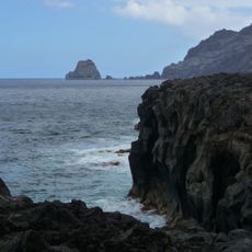
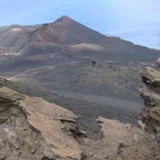
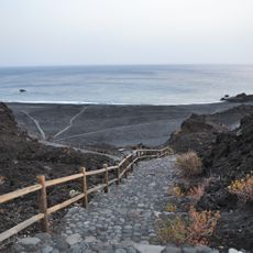
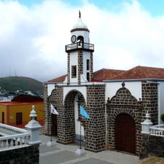
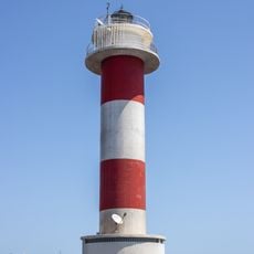
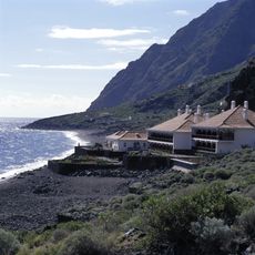
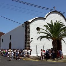
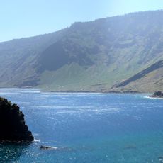
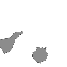
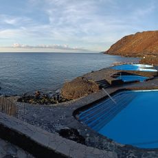
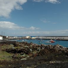
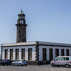
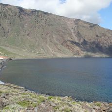
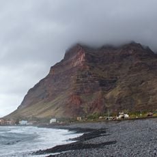
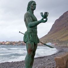
La Frontera, municipality on El Hierro in the Canary Islands of Spain
Location: Santa Cruz de Tenerife Province
Capital city: Frontera
Elevation above the sea: 300 m
Shares border with: Valverde, El Pinar
Website: http://aytofrontera.org
GPS coordinates: 27.75348,-18.01076
Latest update: March 27, 2025 06:46
Teneguía
81.5 km
Villa de Valverde
11.4 km
Punta Orchilla Lighthouse
14.4 km
Pico de Malpaso
4 km
Pozo de la Salud
9.2 km
Mirador de La Peña
6.6 km
Tanganasoga
5.4 km
Mar de Las Calmas
9.4 km
Roques de Salmor
7.9 km
Monumento Natural de los Volcanes de Teneguía
79.7 km
Playa de Echentive
80.1 km
Church of Nuestra Señora de la Concepción, Valverde
11.2 km
Fuencaliente Lighthouse
79.8 km
Parador de El Hierro
6.6 km
Iglesia de Nuestra Señora de la Candelaria
922 m
Roque de la Bonanza
7.4 km
El Hierro
1.1 km
Piscinas La Caleta
13.2 km
Puerto de La Restinga
13 km
Fuencaliente Lighthouse
79.8 km
Las Playas
6.5 km
Playa de La Puntilla
75.9 km
Hautacuperche statue, Valle Gran Rey
75.9 km
Memorial "To the Jesuits"
79.8 km
Biblioteca Pública Municipal de Valverde
11.1 km
Guinea, Frontera
2.5 km
El Garoe
8.2 km
Playa del Verodal
13.9 kmReviews
Visited this place? Tap the stars to rate it and share your experience / photos with the community! Try now! You can cancel it anytime.
Discover hidden gems everywhere you go!
From secret cafés to breathtaking viewpoints, skip the crowded tourist spots and find places that match your style. Our app makes it easy with voice search, smart filtering, route optimization, and insider tips from travelers worldwide. Download now for the complete mobile experience.
A unique approach to discovering new places❞
— Le Figaro
All the places worth exploring❞
— France Info
A tailor-made excursion in just a few clicks❞
— 20 Minutes