
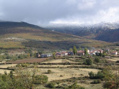
Riofrío de Riaza, municipality of Spain
Location: Segovia Province
Capital city: Riofrío de Riaza
Elevation above the sea: 1,312 m
Part of: Mancomunitat «Hontanares»
Shares border with: Cerezo de Arriba, Riaza, Cantalojas, El Cardoso de la Sierra
Website: http://riofrioderiaza.es
GPS coordinates: 41.24722,-3.45028
Latest update: June 16, 2025 19:10
Hayedo de Montejo
16.4 km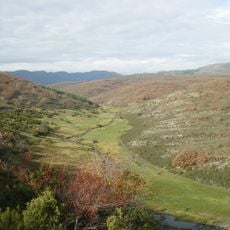
Hayedo de Tejera Negra
5.7 km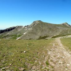
Pico del Lobo
7.2 km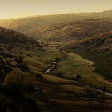
Sierra Norte de Guadalajara
16.6 km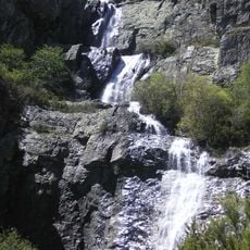
Chorreras de Despeñalagua
21.2 km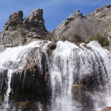
Chorrera de los Litueros
15.2 km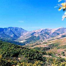
Reserva de caza de Sonsaz
12.1 km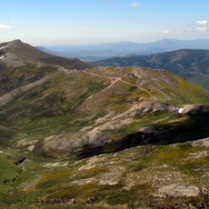
Cerrón
10.6 km
Macizo del Pico del Lobo-Cebollera
9.9 km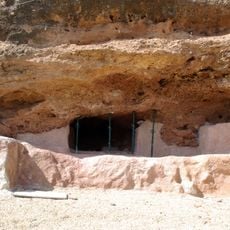
La Peña de Estebanvela
16.2 km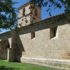
Church of San Pedro Apóstol
20.1 km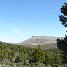
Pico de Grado
19.1 km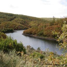
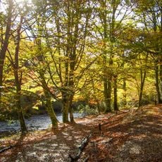
Hayedo de Riofrío de Riaza
2.3 km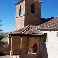
Iglesia de San Andrés (Valvieja)
14.8 km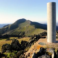
Campachuelo
18.8 km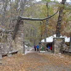
Centro de educación ambiental Hayedo de Montejo
16.9 km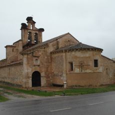
Church of Nuestra Señora de la Asunción, Castillejo de Mesleón
13.4 km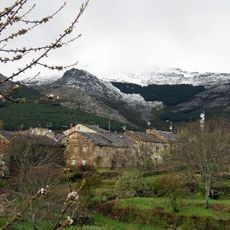
Campo
20 km
Nécropole de Castiltierra
16.9 km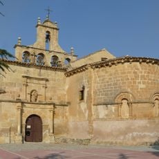
Church of Nuestra Señora de la Natividad
16.8 km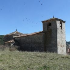
Iglesia de San Pedro, Grado del Pico
18.1 km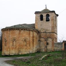
Natividad de la Virgen
15.6 km
El Peral de La Hiruela
19 km
Church of Santiago Apóstol
16.8 km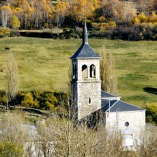
Iglesia de Nuestra Señora de las Nieves, Somosierra
16.8 km
Ermita de San Fabián y San Sebastián, Becerril
8.7 km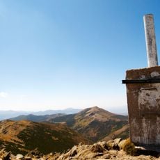
Portillo del Lobo
7.3 km
Tres Provincias
11.8 kmVisited this place? Tap the stars to rate it and share your experience / photos with the community! Try now! You can cancel it anytime.
Discover hidden gems everywhere you go!
From secret cafés to breathtaking viewpoints, skip the crowded tourist spots and find places that match your style. Our app makes it easy with voice search, smart filtering, route optimization, and insider tips from travelers worldwide. Download now for the complete mobile experience.

A unique approach to discovering new places❞
— Le Figaro
All the places worth exploring❞
— France Info
A tailor-made excursion in just a few clicks❞
— 20 Minutes