Sierra Norte de Guadalajara, Natural park in Castilla-La Mancha, Spain
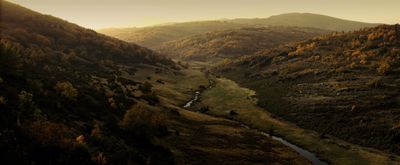
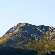
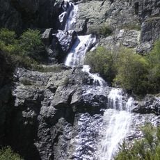
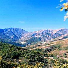
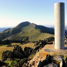
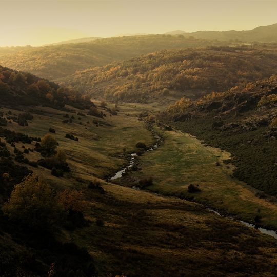
Sierra Norte de Guadalajara is a protected mountain area spanning the sierras of Ayllón, Pela, Alto Rey and Gorda, linking the Central System with the Iberian System. Its highest summits are Pico del Lobo (2,273 m), El Cerrón (2,199 m) and Peña Cebollera Vieja (2,129 m). Quartzite, gneiss and slate dominate, cut by the Jaramilla, Jarama, Lozoya, Sorbe and Bornova river basins and their tributaries.
The area became a protected natural park in 2011, merging three previously separate nature reserves under unified management. This consolidation brought together previously distinct protected areas into one cohesive system.
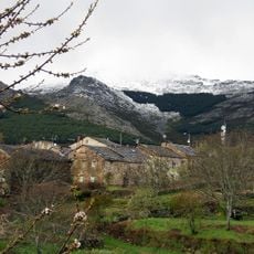
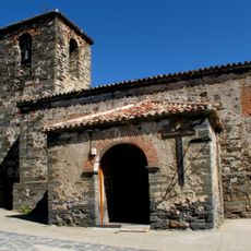
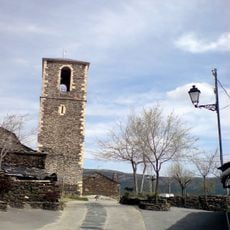
The park takes in villages such as Majaelrayo, Campillo de Ranos and Valverde de los Arroyos, where black slate and quartzite give houses their dark tone. The Sierra Norte is also the setting of the legend of the Pico del Lobo, the wolf peak that names the park's highest summit at 2,273 metres.
Four visitor centers located in different villages offer information and guidance for exploring the park. It helps to visit one of these centers before setting out on longer hikes to learn about current conditions and route options.
The park holds the easternmost evidence of past glaciation in the Sistema Central: glacial cirques and remains of old moraines survive on peaks above 2,000 metres such as Pico del Lobo (2,273 m) and El Cerrón (2,199 m). Periglacial landforms there are now barely active.
The community of curious travelers
AroundUs brings together thousands of curated places, local tips, and hidden gems, enriched daily by 94,697 contributors worldwide.