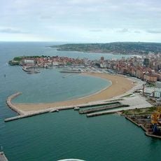
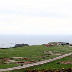
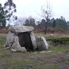
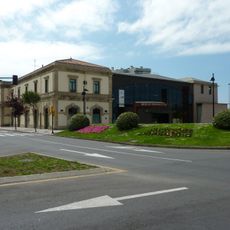
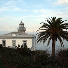
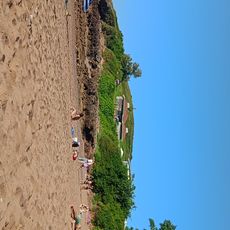
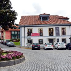
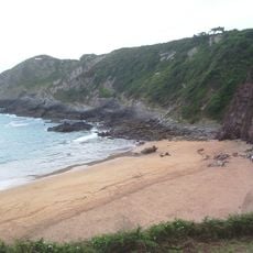
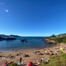
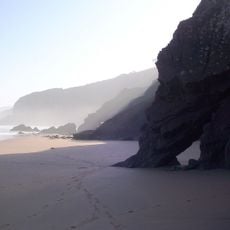
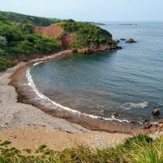
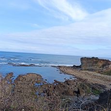
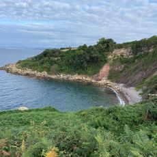
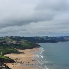
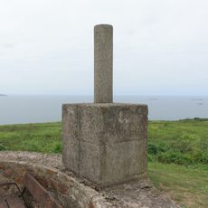
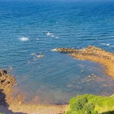
Albandi, parish in Asturias, Spain
Location: Carreño
Elevation above the sea: 78 m
Shares border with: Carrió, Perlora, Priendes, Pervera
GPS coordinates: 43.56285,-5.73853
Latest update: March 29, 2025 19:20
Playa de Poniente, Gijón
5.9 km
Campa Torres
2.9 km
Necropolis of Mount Areo
5.9 km
Aquarium of Gijón
5.5 km
Asturias Railway Museum
5.8 km
Playa del Arbeyal
4.1 km
Playa de Los Cristales
5.5 km
Playas de Xivares, Peña María y Aboño
1.5 km
Playa de Candás
3.6 km
Faro de Candás
4 km
Playa de La Isla
2.1 km
Centro de esculturas de Candás, museo Antón
3.7 km
Playa de Carranques
2.1 km
Playa de San Pedro de Antromero
5.1 km
La Palmera Beach
3.3 km
Faro de Torres
3.3 km
Church of Santa Maria (Piedeloro)
5.8 km
Huelgues Beach
2.4 km
Playa de El Tranquero
1.4 km
Rebolleres Beach
4.3 km
Playa de Gargantera
5.7 km
Playa de La Taluxa
4.7 km
Playas de Xivares
1.7 km
Peña Maria
2 km
Biblioteca Pública Municipal de Montiana
4.7 km
Biblioteca Pública Municipal de El Coto
4 km
Torres
2.7 km
Playa Solfín
4.3 kmReviews
Visited this place? Tap the stars to rate it and share your experience / photos with the community! Try now! You can cancel it anytime.
Discover hidden gems everywhere you go!
From secret cafés to breathtaking viewpoints, skip the crowded tourist spots and find places that match your style. Our app makes it easy with voice search, smart filtering, route optimization, and insider tips from travelers worldwide. Download now for the complete mobile experience.
A unique approach to discovering new places❞
— Le Figaro
All the places worth exploring❞
— France Info
A tailor-made excursion in just a few clicks❞
— 20 Minutes