
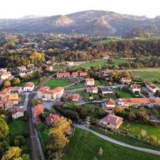
Anero, human settlement in Ribamontán al Monte, Cantabria, Spain
Location: Ribamontán al Monte
Elevation above the sea: 55 m
GPS coordinates: 43.39750,-3.65167
Latest update: April 11, 2025 04:50
Royal Artillery Factory of La Cavada
6.9 km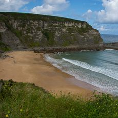
Playa de Langre
9.2 km
La Garma cave complex
3.9 km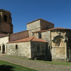
Santa María de Bareyo
9.5 km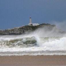
Playa Somo
9.9 km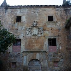
Palace of Acebedo
4.1 km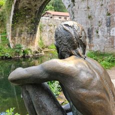
Puente de Liérganes
9.5 km
Monumento al Indiano y a la Marina de Castilla
10.5 km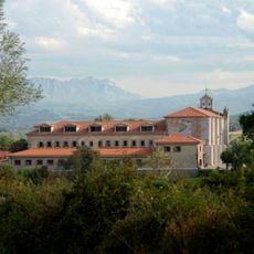
Monasterio de Suesa
8.2 km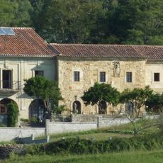
Convento del Santo Desierto de San José de Rigada
2.8 km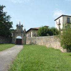
Manor house of los Cuetos
8.5 km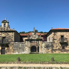
Palace of La Rañada
10.1 km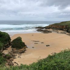
Playa de Galizano
9.4 km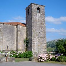
Church of San Pedro ad Víncula, Liérganes
9.8 km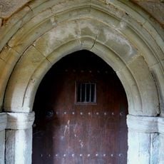
Church of San Pantaleón
9.9 km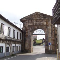
Portalada de Carlos III
6.7 km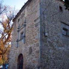
Tower of Alvarado
9.2 km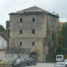
Torre de Rigada en Anero
1.2 km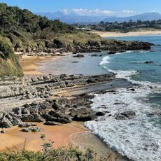
Los Tranquilos/Boo
9.9 km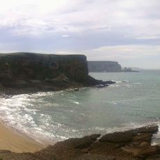
Playa de Arenilla
9.2 km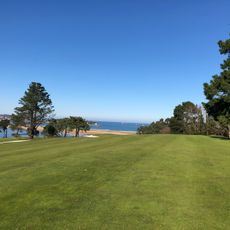
Real Golf de Pedreña
10.2 km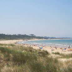
Playa de Loredo
9.6 km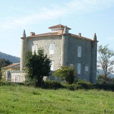
Tower of Gajano
9.7 km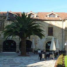
Palacio de los Marqueses de Valbuena
7.2 km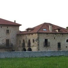
Palace of Fernández de Velasco
2.9 km
S. Hedilla (monument)
10.1 km
Localidad de Liérganes
9.6 km
El Molino
9.9 kmReviews
Visited this place? Tap the stars to rate it and share your experience / photos with the community! Try now! You can cancel it anytime.
Discover hidden gems everywhere you go!
From secret cafés to breathtaking viewpoints, skip the crowded tourist spots and find places that match your style. Our app makes it easy with voice search, smart filtering, route optimization, and insider tips from travelers worldwide. Download now for the complete mobile experience.

A unique approach to discovering new places❞
— Le Figaro
All the places worth exploring❞
— France Info
A tailor-made excursion in just a few clicks❞
— 20 Minutes