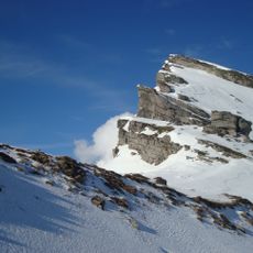
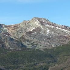
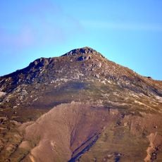
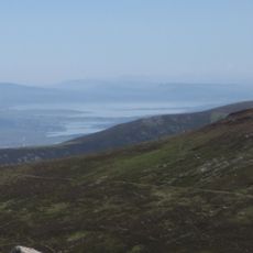
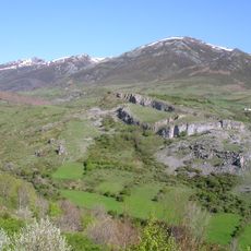
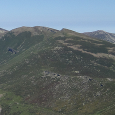
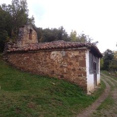
Peña Labra, Mountain summit in Sierra de Híjar, Spain.
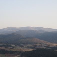
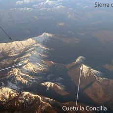
Peña Labra is a mountain reaching 2,018 meters (6,621 feet) in the Cantabrian Mountains, forming the westernmost peak of the Alto Campoo Massif. The summit sits on the border between Palencia and Cantabria, with views across the surrounding ridges and valleys.
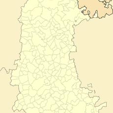
This peak has long marked the natural border between Palencia and Cantabria in northern Spain. Its position as a boundary point has shaped its regional importance for centuries.
The name Peña Labra appears in modern IGN cartography, though the range it belongs to was traditionally called Sierra de Híjar, as on Coello, Quesada and Madoz maps of 1860. Authors such as Hernández-Pacheco considered the newer label erroneous. The peak is also recorded as Peña Luenga in the Libro de la Montería.
Access starts from the Piedrasluengas Pass along road CL-627, which connects nearby communities. The route works best with proper hiking boots and weatherproof clothing, as mountain conditions can change quickly.
The summit's name appears as Peña Luenga in the Libro de la Montería, a medieval hunting book. Modern IGN maps also label the whole Sierra de Híjar as "sierra de Peña Labra", a name authors such as Hernández-Pacheco considered mistaken, since 1860 maps by Coello, Quesada and Madoz call it Sierra de Híjar.
The community of curious travelers
AroundUs brings together thousands of curated places, local tips, and hidden gems, enriched daily by 93,546 contributors worldwide.