Enable Location

We need your location to show you interesting places around you

Discover nearby places

Find interesting locations and hidden gems around you

Precise directions

Get accurate directions and distances to places

Your location is never shared with other users. It's only used when you tap the location button.

Desert de les Palmes Natural Park

Log in to your account

Start exploring — it's free

Trusted by 62,063 travelers worldwide

Continue with Google
Continue with Apple
or

We will send you a code to connect

By continuing, you accept our Terms and Conditions and our Privacy Policy

Check your inbox

We've sent a pincode in your inbox. Please enter the code below.

Desert de les Palmes Natural Park

Desert de les Palmes Natural Park, Natural park in Plana Alta, Spain

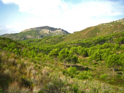
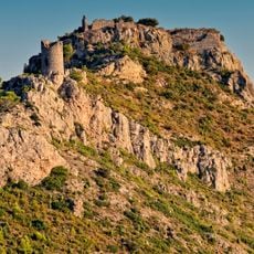
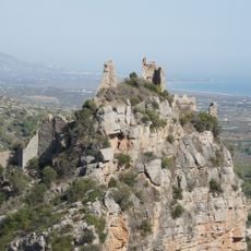
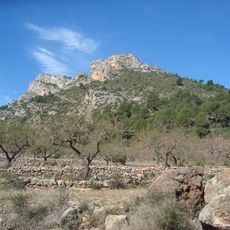
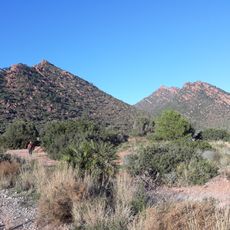
Desert de les Palmes is a protected park with rocky cliffs and Mediterranean forests that runs along the coastline, with Bartolo Peak reaching nearly 730 meters as its highest point. The landscape covers thousands of hectares and includes a mix of pine forests, open rock faces, and vegetation adapted to the region's limestone-poor soils.

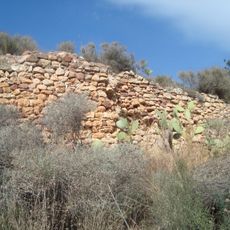
The area gained protected status in 1989 following major forest fires in the mid-1980s and early 1990s that destroyed large sections of the forest. Extensive replanting efforts followed to restore native species and rebuild the woodland.

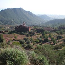
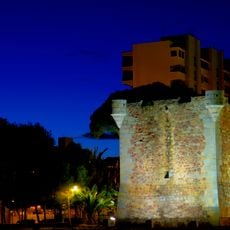
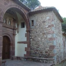
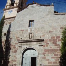
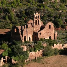
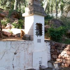
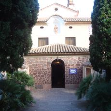
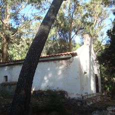
The name Desert de les Palmes comes from Carmelite monks who built spiritual retreat centers throughout these lands. The monasteries and hermitages they left behind shaped how people view and use this space today.

You can reach the park from Benicasim via the CV-147 road, where marked trails connect to viewpoints and places of interest throughout the area. It's best to come early or late in the day to avoid heat, especially during spring and early summer months or fall.

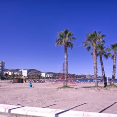
The park is home to the European dwarf palm Chamaerops humilis, which grows here in its natural setting and inspired the area's name. The red sandstone formations support specialized plant species that have adapted to the calcium-poor soils of the region.

The community of curious travelers

AroundUs brings together thousands of curated places, local tips, and hidden gems, enriched daily by 60,000 contributors worldwide.

Start exploring
Location
Inception
1989
GPS coordinates
40.08390,0.04083
Latest update
December 8, 2025 13:43
Valencia Region in Spain: main sites, monuments and places to visit

The Valencian Community stretches along the Mediterranean, between the sea and the mountains. This region includes the city of Valencia with its Arts and Sciences City, the historic center around the cathedral and the Silk Exchange, and the Turia Gardens running through the city. To the north, the...

« Desert de les Palmes Natural Park - Natural park in Plana Alta, Spain » is provided by Around Us (aroundus.com). Images and texts are derived from Wikimedia project under a Creative Commons license. You are allowed to copy, distribute, and modify copies of this page, under the conditions set by the license, as long as this note is clearly visible.

Discover hidden gems everywhere you go!

From secret cafés to breathtaking viewpoints, skip the crowded tourist spots and find places that match your style. Our app makes it easy with voice search, smart filtering, route optimization, and insider tips from travelers worldwide. Download now for the complete mobile experience.

Around Us App Screenshot

A unique approach to discovering new places

Le Figaro

All the places worth exploring

France Info

A tailor-made excursion in just a few clicks

20 Minutes

Around Us
Travel Guide & Maps
Download

Send to your phone

QR Code
1

Open the camera app on your mobile.

2

Point at the QR code with your camera. A notification will appear.

3

Tap the notification to open the link.