Agulla Cadier, Berggipfel in Spanien
Location: Sallent de Gállego
Elevation above the sea: 3,022 m
GPS coordinates: 42.83449,-0.28959
Latest update: April 5, 2025 00:12

Pyrénées National Park
9.3 km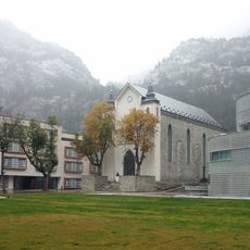
Baños de Panticosa
9.4 km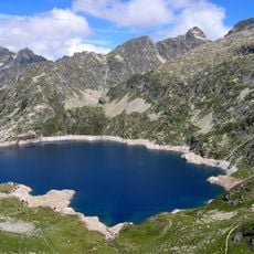
Lac d'Artouste
4.4 km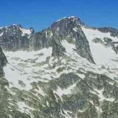
Balaïtous
498 m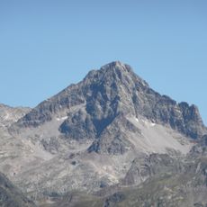
Pic Palas
2.5 km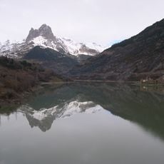
Lanuza Reservoir
8.8 km
Grande Fache
5.1 km
Pico de Arriel
3.4 km
Argualas
7.8 km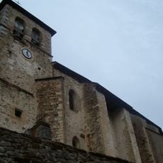
Church of the Asunción, Sallent de Gállego
7.7 km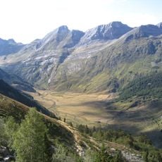
Vallée du Soussouéou
9.6 km
Cirque du Marcadau
7.5 km
Néous Glacier
679 m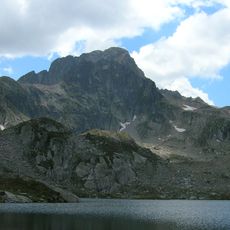
Pico de Cambalés
3.9 km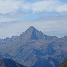
Grand Barbat
8.5 km
Pabat Glacier
957 m
Garmo Negro
7.3 km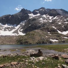
Arnales
6.6 km
Pic Occidental d'Enfer
6.1 km
Aguja de Pondiellos
7.3 km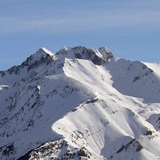
Algas
7.5 km
Infierno Oriental
6.4 km
Circ de Marcadau
7.9 km
Frondella Central
350 m
Frondella SW
925 m
Algas N
7.4 km
Frondella N
134 m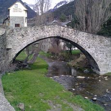
Puente viejo
7.9 kmReviews
Visited this place? Tap the stars to rate it and share your experience / photos with the community! Try now! You can cancel it anytime.
Discover hidden gems everywhere you go!
From secret cafés to breathtaking viewpoints, skip the crowded tourist spots and find places that match your style. Our app makes it easy with voice search, smart filtering, route optimization, and insider tips from travelers worldwide. Download now for the complete mobile experience.

A unique approach to discovering new places❞
— Le Figaro
All the places worth exploring❞
— France Info
A tailor-made excursion in just a few clicks❞
— 20 Minutes