Enable Location

We need your location to show you interesting places around you

Discover nearby places

Find interesting locations and hidden gems around you

Precise directions

Get accurate directions and distances to places

Your location is never shared with other users. It's only used when you tap the location button.

Pic Palas

Log in to your account

Start exploring — it's free

Trusted by 62,480 travelers worldwide

Continue with Google
Continue with Apple
or

We will send you a code to connect

By continuing, you accept our Terms and Conditions and our Privacy Policy

Check your inbox

We've sent a pincode in your inbox. Please enter the code below.

Pic Palas

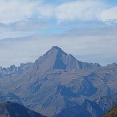
Pic Palas, Summit in Hautes-Pyrénées and Huesca Province, France and Spain.

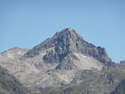
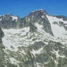
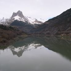
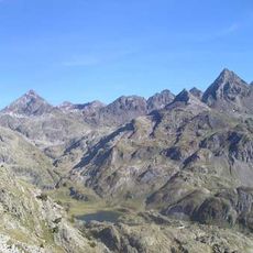
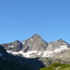
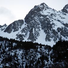
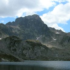
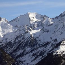
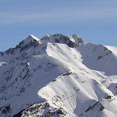
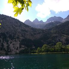
Pic Palas is a granite summit in the Pyrenees that rises to 2,974 meters and forms a natural border between France and Spain. The mountain displays steep rock faces and ridges that can be approached from several directions.

The mountain has served as a state boundary between France and Spain since the Treaty of the Pyrenees in 1659. That agreement established the peak as a frontier point that continues to divide the two nations today.

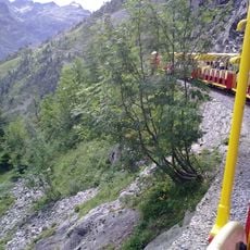
The summit draws climbers from both France and Spain, who follow different routes and use distinct techniques to reach the top. Each side has developed its own climbing traditions and local guides that shape how people experience the mountain.

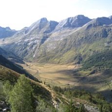
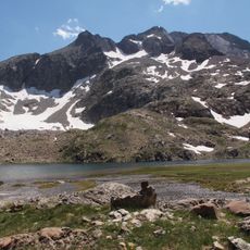
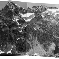
The Arête des Géodésiens is the main route to the summit and requires solid climbing skills and experience with exposed terrain. Refuge d'Arrémoulit nearby offers overnight accommodation for climbers preparing their ascent.

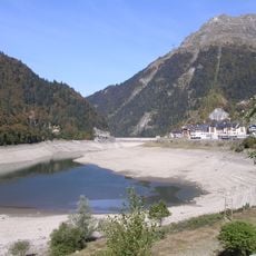
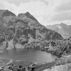
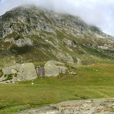
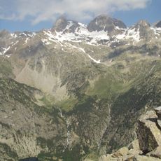
The terrain around the summit features granite formations shaped by ice and wind over millennia in the Pyrenees. These natural structures make the climb visually striking and geologically interesting for those who notice them.

The community of curious travelers

AroundUs brings together thousands of curated places, local tips, and hidden gems, enriched daily by 60,000 contributors worldwide.

Start exploring
Location
Elevation above the sea
2,974 m
Made from material
granite
GPS coordinates
42.84941,-0.31327
Latest update
December 12, 2025 17:47
« Pic Palas - Summit in Hautes-Pyrénées and Huesca Province, France and Spain » is provided by Around Us (aroundus.com). Images and texts are derived from Wikimedia project under a Creative Commons license. You are allowed to copy, distribute, and modify copies of this page, under the conditions set by the license, as long as this note is clearly visible.

Discover hidden gems everywhere you go!

From secret cafés to breathtaking viewpoints, skip the crowded tourist spots and find places that match your style. Our app makes it easy with voice search, smart filtering, route optimization, and insider tips from travelers worldwide. Download now for the complete mobile experience.

Around Us App Screenshot

A unique approach to discovering new places

Le Figaro

All the places worth exploring

France Info

A tailor-made excursion in just a few clicks

20 Minutes

Around Us
Travel Guide & Maps
Download

Send to your phone

QR Code
1

Open the camera app on your mobile.

2

Point at the QR code with your camera. A notification will appear.

3

Tap the notification to open the link.