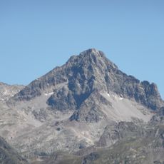
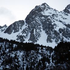
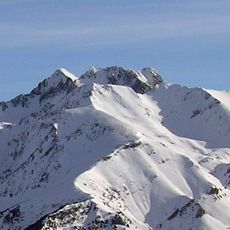
Pic d'Arriel, Mountain peak at 2824 meters in Pyrénées-Atlantiques, France.
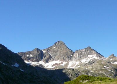
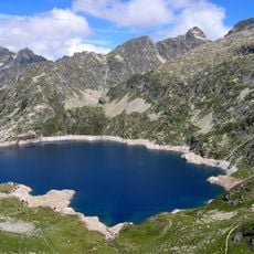
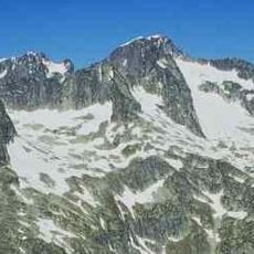
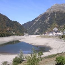
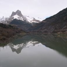
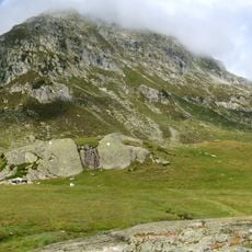
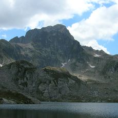
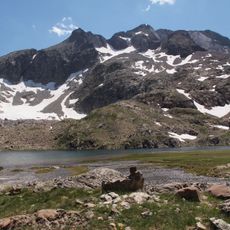
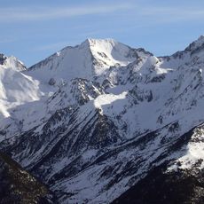
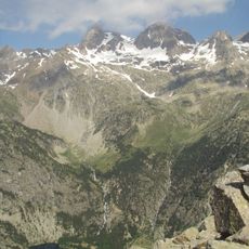
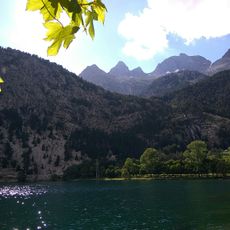
Pico de Arriel is a 2824-meter summit in the Balaïtous massif positioned between France and Spain. Its northern face overlooks the Arrémoulit refuge while its southern side faces mountain lakes below.
The first recorded ascent took place in 1851 when surveyor Henri Saget reached the summit during his mapping work. These early explorations contributed to charting the Pyrenean region.
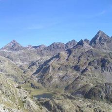
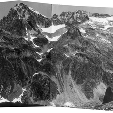
The summit sits within the Balaïtous massif and serves as a natural marker between French and Spanish territories. From the top on clear days, visitors can see across both countries and experience the scale of the Pyrenean range.
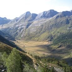
The hike departs from the Caillou de Socques parking area and covers roughly 14 kilometers with about 1400 meters of elevation gain on marked trails. Sturdy footwear and good fitness are necessary since the route is demanding and requires sure footing.
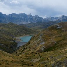
From the summit, two distinct descent paths offer different options: one leads to Petit Arriel while the other continues toward Grand Arriel through the Sobe pass. This flexibility allows hikers to tailor their route based on available time and energy.
The community of curious travelers
AroundUs brings together thousands of curated places, local tips, and hidden gems, enriched daily by 60,000 contributors worldwide.