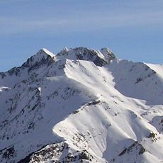
Pic de Cambalès, Granite summit in Hautes-Pyrénées, France.
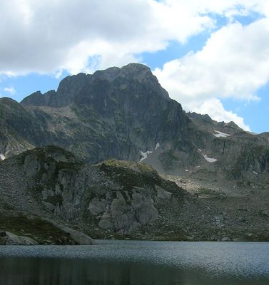
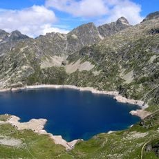
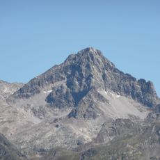
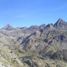
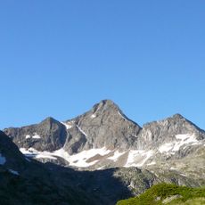
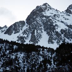
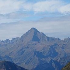
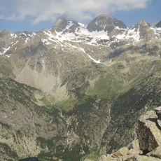
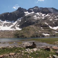
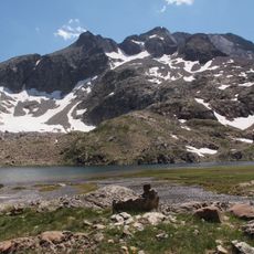
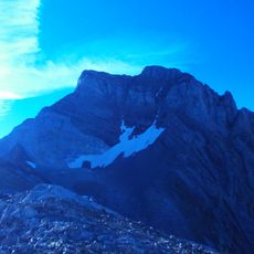
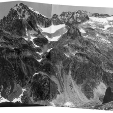
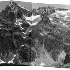
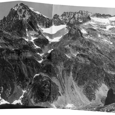
The pic de Cambalès is a granite summit on the Franco-Spanish border, reaching 2965 m between boundary crosses 312 and 313. Its north face drops in cliffs nearly 200 m high above the col de Cambalès, while the upper slopes are bare, fractured grey rock with scattered snow patches and scree below. It closes the plateau des lacs de Cambalès to the west of the cirque du Marcadau.
French mountaineer Henry Russell made the first recorded ascent on July 20, 1877, establishing a climbing route. This early climb was part of the broader 19th-century exploration of the Pyrenees.
The summit sits on the Franco-Spanish border between boundary crosses no. 312 and no. 313, where the watershed of the Adour, draining to the Atlantic, meets that of the Ebro, draining to the Mediterranean. The name Cambalès is shared with the plateau of lakes below and the Cambalès pass at 2706 m.
Two main routes leave from Refuge Wallon: via Col de la Fache (2664 m) and the south flank of Pène d'Aragon (2918 m) on a broad, easy ramp, or past the Grand lac de Cambalès up an old glacial valley. Both meet at Col d'Aragon (2808 m), where two small tarns sit; the final ridge is steep but easy. The climb totals about 1500 m of ascent, and the north face above Col de Cambalès (2706 m) holds several climbing routes.
The two small tarns at Col d'Aragon, 2,808 m, are the highest lakes in the Marcadau massif, reached on both main routes from Refuge Wallon. The final ridge above them is steep but easy, and the summit's north face, above Col de Cambalès at 2,706 m, holds several climbing routes.
The community of curious travelers
AroundUs brings together thousands of curated places, local tips, and hidden gems, enriched daily by 94,049 contributors worldwide.