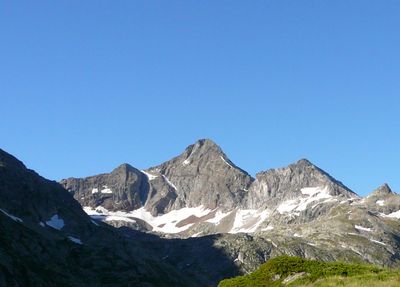
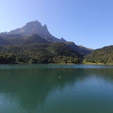
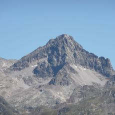
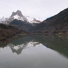
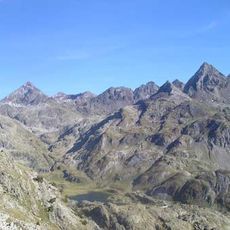
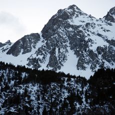
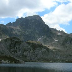
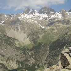
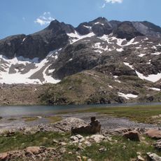
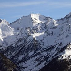
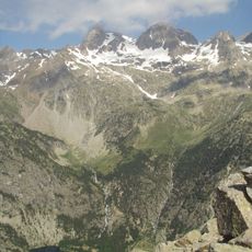
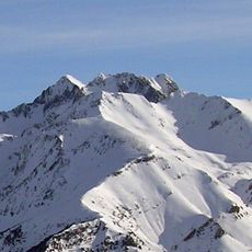
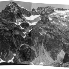
Pic d'Arriel, Mountain peak at 2824 meters in Pyrénées-Atlantiques, France.
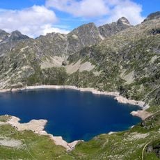
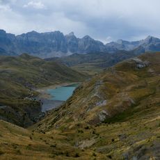
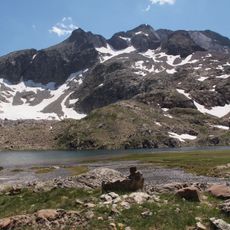
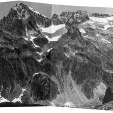
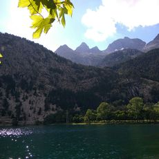
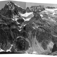
Pico de Arriel is a 2824-meter summit in the Balaïtous massif positioned between France and Spain. Its northern face overlooks the Arrémoulit refuge while its southern side faces mountain lakes below.
The first ascent was made in 1851 by Henri Saget, a geodesist and officer from the Sarthe department, while he was carrying out survey work. The summit is also called pic Saget after him. The mountain rises to 2,821 metres on the Franco-Spanish border and the watershed line.
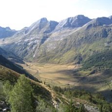
The name Arriel comes from the Aragonese word saliecho, the willow Salix eleagnos that grows in the valley. On the Spanish side the peak is called Punta Saliecho or Punta Saldiecho, while the French name honours Henri Saget, the surveyor who made the first ascent. The summit marks the watershed between the Atlantic and the Mediterranean.
The hike departs from the Caillou de Socques parking area and covers roughly 14 kilometers with about 1400 meters of elevation gain on marked trails. Sturdy footwear and good fitness are necessary since the route is demanding and requires sure footing.
The summit's other names come from the willow Salix eleagnos, called saliecho in Aragonese, which grows in the valley below. The first climber, surveyor Henri Saget, gave the peak his own name: pic Saget. The final metres of the summit ridge need the hands, though the rock is of very good quality.
The community of curious travelers
AroundUs brings together thousands of curated places, local tips, and hidden gems, enriched daily by 93,677 contributors worldwide.