Chest opened
+${chestReward.xp} XP
Explorer
NOUVEAU ×${chestReward.collectible.quantity}
tapez pour fermer

See the monuments around you in AR Open chests in the app

Around Us is built for your phone — point your camera at the streets and discover the monuments and places around you in augmented reality. Around Us is built for your phone — chests unlock when you walk, explore and capture nearby places.

•

Enable Location

We need your location to show you interesting places around you

Discover nearby places

Find interesting locations and hidden gems around you

Precise directions

Get accurate directions and distances to places

Your location is never shared with other users. It's only used when you tap the location button.

Montañón Negro

Log in to your account

Start exploring — it's free

Trusted by 95,491 travelers worldwide

Continue with Google
Continue with Apple
or

We will send you a code to connect

By continuing, you accept our Terms and Conditions and our Privacy Policy

Check your inbox

We've sent a pincode in your inbox. Please enter the code below.

Montañón Negro

Montañón Negro, Volcanic monument in Moya, Las Palmas, Spain

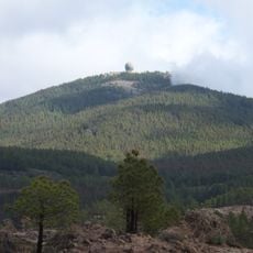
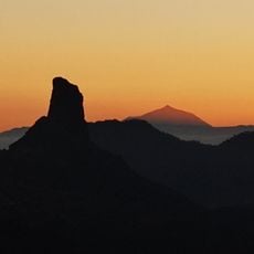
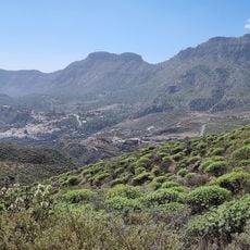
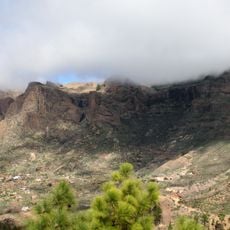
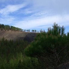
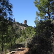
Montañón Negro is a 1669 m strombolian cinder cone shared by Moya, Gáldar, Santa María de Guía and Valleseco. Its crater opens to the northeast, and its basanitic aa lavas ran down two branches, toward Fontanales-El Brezal-Los Tilos de Moya and the Barranco de la Virgen-Azuaje. The protected monument of 193.6 ha also includes the Caldera de los Pinos de Gáldar, a circular explosive crater 300 m wide and 150 m deep.

Montañón Negro is one of the most recent eruptions on Gran Canaria, dated to about 3500 BP, within the Recent Volcanic Cycle. Its strombolian cone, 192 m high and reaching 1669 m, emitted basanitic aa lava flows down two branches: Fontanales-El Brezal-Los Tilos de Moya and Barranco de la Virgen-Azuaje. It sits on Post-Roque Nublo basaltic flows.

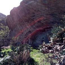
The site was historically connected by traditional paths that linked local communities before modern roads arrived in the late 20th century. These old routes remain visible today and show how people once moved through this landscape.

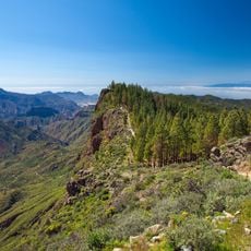
The area can be explored from the observation points of the Caldera, where multiple hiking routes begin. Trails vary in difficulty and cross the protected natural area with uneven terrain and exposed rock.

Canary pines grow across the volcanic lava fields with some of the largest trunk circumferences found anywhere on the island. These trees thrive amid the harsh volcanic conditions and show the resilience of local forest life.

The community of curious travelers

AroundUs brings together thousands of curated places, local tips, and hidden gems, enriched daily by 95,491 contributors worldwide.

Start exploring
Location
GPS coordinates
28.03009,-15.61181
Latest update
October 31, 2026 23:46
Reviews
Share your experience

No review yet

Discussions
Start a discussion...

No discussion yet

« Montañón Negro - Volcanic monument in Moya, Las Palmas, Spain » is provided by Around Us (aroundus.com). Images and texts are derived from Wikimedia project under a Creative Commons license. You are allowed to copy, distribute, and modify copies of this page, under the conditions set by the license, as long as this note is clearly visible.

Discover hidden gems everywhere you go!

From secret cafés to breathtaking viewpoints, skip the crowded tourist spots and find places that match your style. Our app makes it easy with voice search, smart filtering, route optimization, and insider tips from travelers worldwide. Download now for the complete mobile experience.
Around Us App Screenshot
❝

A unique approach to discovering new places❞

— Le Figaro

❝

All the places worth exploring❞

— France Info

❝

A tailor-made excursion in just a few clicks❞

— 20 Minutes

Around Us
Travel Guide & Maps
Download

Send to your phone

QR Code
1

Open the camera app on your mobile.

2

Point at the QR code with your camera. A notification will appear.

3

Tap the notification to open the link.