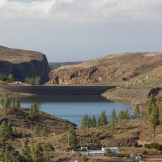
Pico de las Nieves, Mountain and extinct volcano in Gran Canaria, Spain
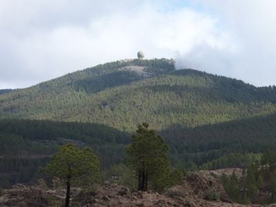
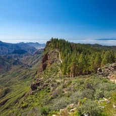
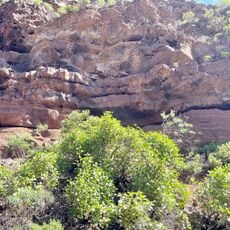
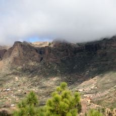
Pico de las Nieves is an extinct volcano and the highest point in Gran Canaria, reaching about 1,950 meters (6,400 feet) in elevation. The mountain is accessible by car via designated roads and features an observation platform with parking available near a military facility.
The mountain got its name from snow collection pits carved into its slopes in 1694, which were used to store snow for medical treatments and cooling drinks. This practice reflects how people historically used the mountain's height for practical purposes.
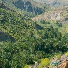
The peak serves as a central meeting point where locals come to enjoy views across the entire island. For people who live in the surrounding areas, it represents a natural landmark that shapes their sense of place and connection to the land.
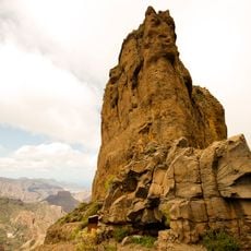
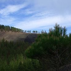
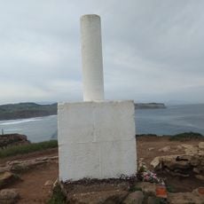
When conditions are clear, you can see long distances from the observation platform, including a distant monolith and volcanoes on nearby islands. It's best to arrive early in the day, as clouds often gather by afternoon and block the views.
The mountain was once a center for commercial snow harvesting, where workers descended into deep pits to collect and store frozen water for trade with other islands. This frozen commodity was valuable at the time and enabled early economic exchange across the Canaries.
The community of curious travelers
AroundUs brings together thousands of curated places, local tips, and hidden gems, enriched daily by 60,000 contributors worldwide.