
Kristinestad's church, church in Kristinestad, Finland
Location: Kristinestad
Architects: Jac Ahrenberg
Elevation above the sea: 7 m
GPS coordinates: 62.27228,21.37609
Latest update: March 10, 2025 07:44

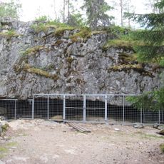
Wolf Cave
15.1 km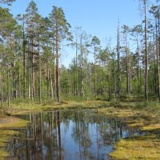
Lauhanvuori National Park
43.6 km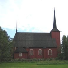
Ulrika Eleonora Church
358 m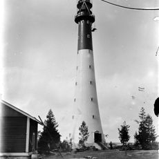
Yttergrund Lighthouse
32.9 km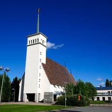
Teuva Church
29.6 km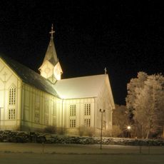
Merikarvia Church
46.5 km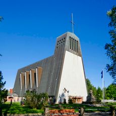
Kauhajoki Church
44.7 km
Lappfjärd church
8.1 km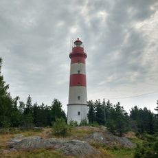
Sälgrund lighthouse
11.8 km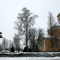
Isojoki Church
35 km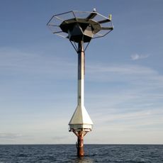
Kristiiankaupunki lighthouse
13.2 km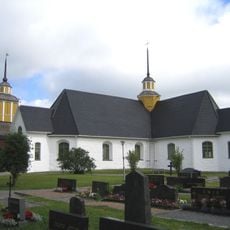
Närpes Church
21.7 km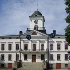
Kristinestad Town Hall
172 m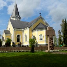
Siikainen church
50.2 km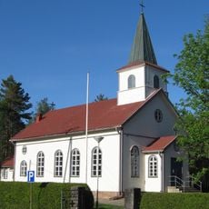
Kauhajärvi Church
48.4 km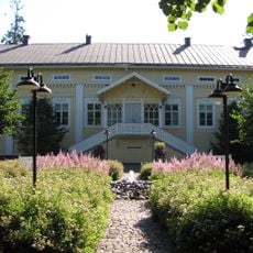
Sanssinkartano
44.7 km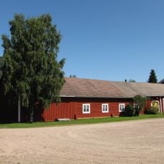
Hämes-Havunen
46.5 km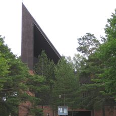
Kaskinen Church
14.5 km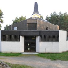
Sideby Church
27 km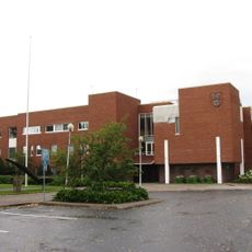
Kauhajoki town hall
44.6 km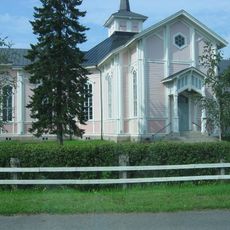
Övermark Church
37.8 km
Närpes Nybro
22.7 km
Kauhajoki local heritage museum
44.5 km
Carlsro
4.6 km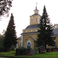
Église de Karijoki
17.6 km
Matilda Roslin-Kalliolan kirjailijakoti
46.4 km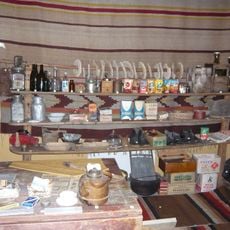
Merikarvian kotiseutumuseo
46.3 km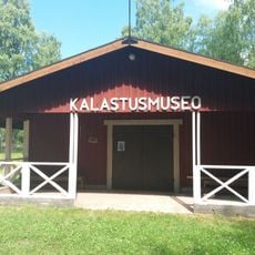
Merikarvian kalastusmuseo
47.1 kmVisited this place? Tap the stars to rate it and share your experience / photos with the community! Try now! You can cancel it anytime.
Discover hidden gems everywhere you go!
From secret cafés to breathtaking viewpoints, skip the crowded tourist spots and find places that match your style. Our app makes it easy with voice search, smart filtering, route optimization, and insider tips from travelers worldwide. Download now for the complete mobile experience.

A unique approach to discovering new places❞
— Le Figaro
All the places worth exploring❞
— France Info
A tailor-made excursion in just a few clicks❞
— 20 Minutes