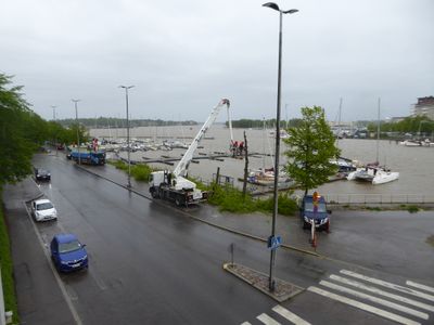
Hakaniemenranta, Marina and street along Siltavuorensalmi shore in Helsinki, Finland
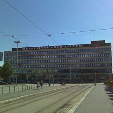
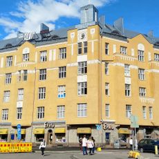
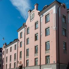
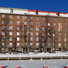
Hakaniemenranta is a waterfront street with boat docking facilities that runs along a strait through two districts of the city. The four-lane road serves as a main connection from the eastern edge to downtown and is lined with residential and commercial buildings.
The street received its current name in 1928, though it had been known by another name three decades earlier. During the 1960s it became a primary route connecting the eastern highway to central city areas.
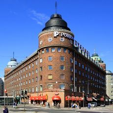
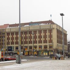
The adjoining square hosts a traditional weekly market where vendors have sold fresh produce and handmade goods since the end of the 1800s. Locals gather here after work to shop and chat, making it a natural meeting point in the neighborhood.
The area is well served by public transport with several bus stops and a subway entrance along the street. Visitors should expect daytime crowds, especially on market days when the adjacent square becomes quite busy.
A new development project will build a bridge connecting to a nearby island and transform the waterfront with fresh residential and commercial areas. This expansion will further establish this location as a key hub between neighborhoods.
Location: Helsinki
GPS coordinates: 60.17829,24.95569
Latest update: December 14, 2025 12:25
Pitkäsilta
379 m
Hakaniemi market hall
318 m
Psychologicum
265 m
Hakaniemen silta
146 m
Arena House
392 m
Former Military Archives building
298 m
Burgher's house
313 m
Kiinteistö Oy Siltasaarenkatu 8-10
362 m
Hakaniemenranta 1
266 m
Old physiology building
370 m
Athena
329 m
Salem Temple Helsinki
257 m
Meritullinkatu 33
354 m
Kirjan talo
249 m
Museum of Civil Defence
224 m
Miina Sillanpään katu 1
261 m
Ruiskumestarin talon piharakennus
327 m
Kristianinkatu 5 - Välikatu 1 - Kirjatyöntekijänkatu 2 c
315 m
Hämeentie 2a
394 m
Bostadsaktiebolaget Hoppet
398 m
Siltasaarenkatu 1 - John Stenbergin ranta 2
311 m
Kristakoti
289 m
Kirjatyöntekijänkatu 2 d - Välikatu 2 - Kristianinkatu 7
298 m
Oikokatu 11 - Kristianinkatu 16
324 m
Kristianinkatu 17
290 m
Oikokatu 6
380 m
Asunto-O.Y. Pitkänsillanranta N:o 5
397 m
Kronohagens lågstadieskola eli Kruununhaan ruotsinkielisen ala-asteen koulu, Kronohagens lågstadieskola eli Kruununhaan ruotsinkielisen ala-asteen koulu (177)
380 mVisited this place? Tap the stars to rate it and share your experience / photos with the community! Try now! You can cancel it anytime.
Discover hidden gems everywhere you go!
From secret cafés to breathtaking viewpoints, skip the crowded tourist spots and find places that match your style. Our app makes it easy with voice search, smart filtering, route optimization, and insider tips from travelers worldwide. Download now for the complete mobile experience.
A unique approach to discovering new places❞
— Le Figaro
All the places worth exploring❞
— France Info
A tailor-made excursion in just a few clicks❞
— 20 Minutes