Colmar

Log in to your account

AroundUs is a community-driven map of interesting places, built by curious explorers like you. It grows with every review, story, and photo you share.
Connect to save your favorite spots, contribute locations, and create personalized routes.
By continuing, you accept our Terms and Conditions and our Privacy Policy
Add to collection
Map
Suggest a change
Share

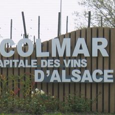
Colmar, Administrative center in Haut-Rhin, France

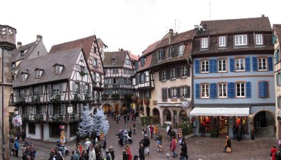
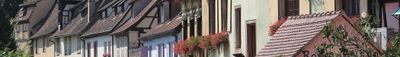
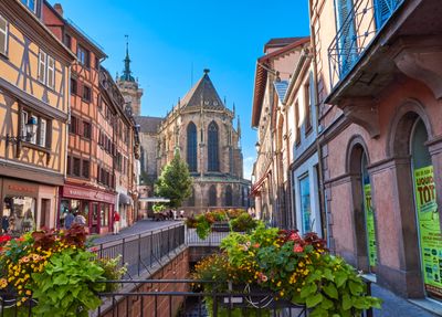
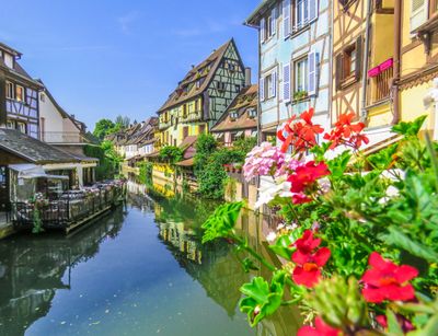
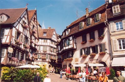
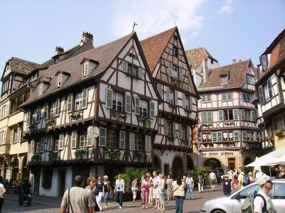
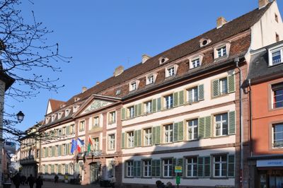
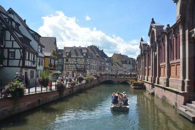
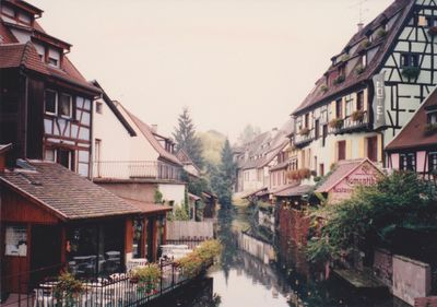
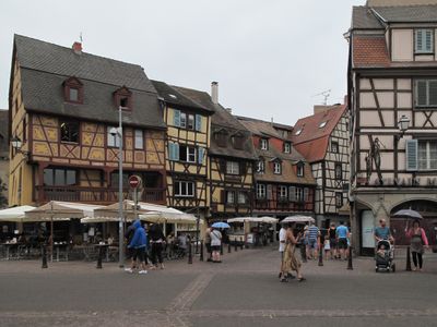
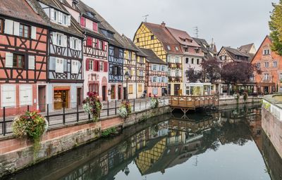
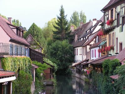
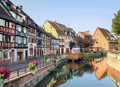
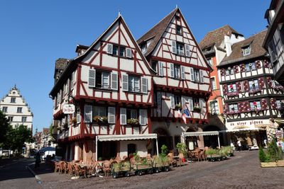
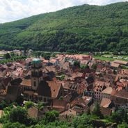
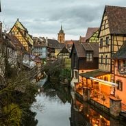
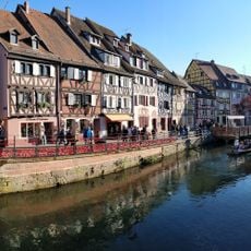
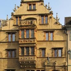
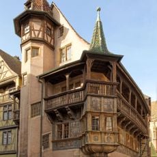
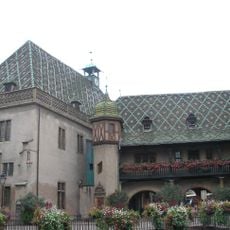
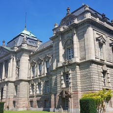
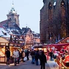
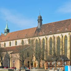
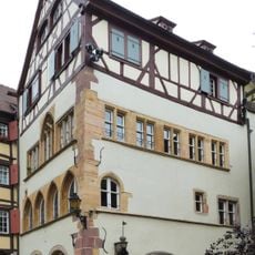
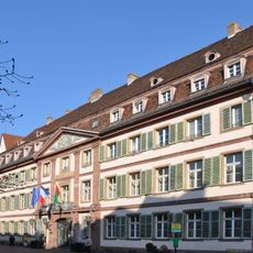
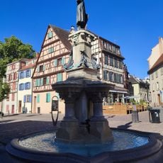
Colmar is an administrative center in the Haut-Rhin department of northeastern France, crossed by canals and lined with half-timbered houses featuring painted facades. The town spreads across a plain near the Vosges mountains, with squares, bridges, and wine cellars defining the townscape.

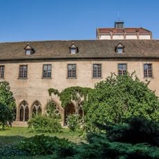
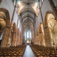
The settlement gained imperial city status in 1226 from Emperor Frederick II, governing its own affairs from that point. The Treaty of Nijmegen transferred control to France in 1679, reshaping the town's political and cultural direction.

Half-timbered facades line narrow lanes in the Tannery Quarter, where craftsmen once processed animal hides in the waterways. Wine trade and cultivation still shape daily life, with local vintners offering their products in taverns and markets.

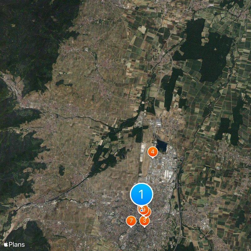
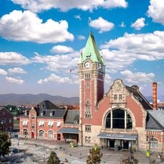
The railway station connects the town to Strasbourg, Mulhouse, and Basel, while bus routes serve surrounding areas and neighborhoods. Walking paths and cycling routes make it easier to move between the center, canal banks, and outer districts.

The municipality leases agricultural plots to farmers, linking environmental requirements to land use. This arrangement connects communal management with rural farming and preserves small-scale cultivation areas on the town's edge.

Location: arrondissement of Colmar-Ribeauvillé

Inception: 1226

Elevation above the sea: 185 m

Shares border with: Illhaeusern, Grussenheim, Jebsheim, Sundhoffen, Horbourg-Wihr, Sainte-Croix-en-Plaine, Wettolsheim, Wintzenheim, Ingersheim, Ammerschwihr, Bennwihr, Houssen, Ostheim, Guémar, Porte du Ried, Kaysersberg Vignoble

Address: 68000 Colmar, France

Phone: +33389206868

Website: https://colmar.fr

GPS coordinates: 48.08111,7.35500

Latest update: December 15, 2025 15:29

Photos
Alsace Wine Route: historic villages, half-timbered houses, medieval architecture

The Alsace Wine Route connects dozens of villages that have preserved their medieval structures. Half-timbered houses from the 16th and 17th centuries line cobblestone streets, while town walls and watchtowers testify to the region's strategic importance. Many villages feature Romanesque churches...

Landmarks to visit in Colmar

Colmar is a city where medieval streets meet water channels and traditional timber-framed houses line every corner. Walking through the old town, you pass churches like the Collegiale Saint-Martin and the Dominican Church, along with Renaissance buildings such as the Maison Pfister and Maison des...

Reviews

Visited this place? Tap the stars to rate it and share your experience / photos with the community! Try now! You can cancel it anytime.

« Colmar - Administrative center in Haut-Rhin, France » is provided by Around Us (aroundus.com). Images and texts are derived from Wikimedia project under a Creative Commons license. You are allowed to copy, distribute, and modify copies of this page, under the conditions set by the license, as long as this note is clearly visible.

Discover hidden gems everywhere you go!

From secret cafés to breathtaking viewpoints, skip the crowded tourist spots and find places that match your style. Our app makes it easy with voice search, smart filtering, route optimization, and insider tips from travelers worldwide. Download now for the complete mobile experience.

Around Us App Screenshot

A unique approach to discovering new places

Le Figaro

All the places worth exploring

France Info

A tailor-made excursion in just a few clicks

20 Minutes