Enable Location

We need your location to show you interesting places around you

Discover nearby places

Find interesting locations and hidden gems around you

Precise directions

Get accurate directions and distances to places

Your location is never shared with other users. It's only used when you tap the location button.

Gap

Log in to your account

Start exploring — it's free

Trusted by 63,087 travelers worldwide

Continue with Google
Continue with Apple
or

We will send you a code to connect

By continuing, you accept our Terms and Conditions and our Privacy Policy

Check your inbox

We've sent a pincode in your inbox. Please enter the code below.

Discussion Reviews 4 Photos
162k Popularity

Gap, Administrative commune in Hautes-Alpes, France

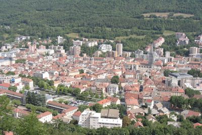
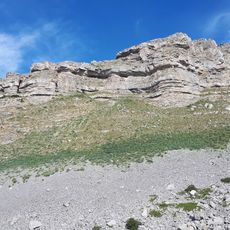
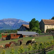
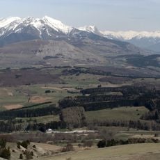
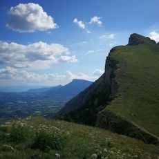
Gap is a commune in the Hautes-Alpes department in southeastern France, sitting in a wide valley between several mountain ranges. The settlement rests at about 750 meters (2460 feet) above sea level and serves as the capital of the department, with public buildings, schools, and a hospital.

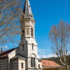
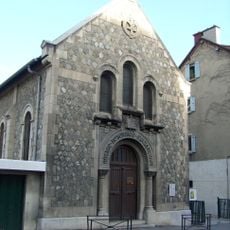
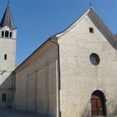
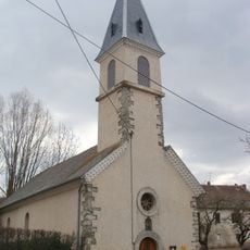
The settlement was founded in Roman times as Vappincum and served as a stopping point along a major trade route between Turin and Sisteron. During the Middle Ages, the town grew as an episcopal seat and maintained its role as an administrative center through the centuries.

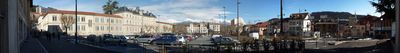
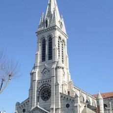
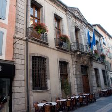
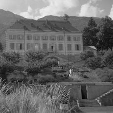
The name Gap comes from the Latin word Vappincum, a reminder of the town's Roman past. Visitors notice the contrast between the modern prefecture buildings and the narrow streets of the old quarter, where shops and cafés line the sidewalks.

Those exploring the old town will find most shops and street cafés around the cathedral in the center. The streets are easy to walk, and on warm days locals seek shade under the arcades.

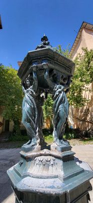
Gap is the highest prefecture in France and was awarded Alpine Town of the Year in 2002. At the center stands a 19th-century fountain that recalls earlier times when water was brought down from the mountains into town.

The community of curious travelers

AroundUs brings together thousands of curated places, local tips, and hidden gems, enriched daily by 60,000 contributors worldwide.

Start exploring
Location
Elevation above the sea
1,107 m
Shares border with
Châteauvieux, La Fare-en-Champsaur, Forest-Saint-Julien, La Freissinouse, Jarjayes, Laye, Lettret, Neffes, Le Noyer, Pelleautier, Poligny, Rabou, Rambaud, La Roche-des-Arnauds, La Rochette, Saint-Laurent-du-Cros, Dévoluy
Address
05000 Gap, France
Phone
GPS coordinates
44.55861,6.07778
Latest update
December 15, 2025 10:05
Reviews
Share your experience

No review yet

Discussions
Start a discussion...

No discussion yet

« Gap - Administrative commune in Hautes-Alpes, France » is provided by Around Us (aroundus.com). Images and texts are derived from Wikimedia project under a Creative Commons license. You are allowed to copy, distribute, and modify copies of this page, under the conditions set by the license, as long as this note is clearly visible.

Discover hidden gems everywhere you go!

From secret cafés to breathtaking viewpoints, skip the crowded tourist spots and find places that match your style. Our app makes it easy with voice search, smart filtering, route optimization, and insider tips from travelers worldwide. Download now for the complete mobile experience.

Around Us App Screenshot

A unique approach to discovering new places

Le Figaro

All the places worth exploring

France Info

A tailor-made excursion in just a few clicks

20 Minutes

Around Us
Travel Guide & Maps
Download

Send to your phone

QR Code
1

Open the camera app on your mobile.

2

Point at the QR code with your camera. A notification will appear.

3

Tap the notification to open the link.