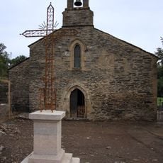
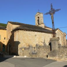
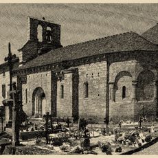
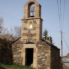
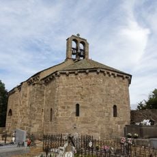
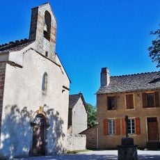
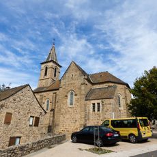
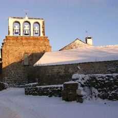
Bagnols-les-Bains, former commune in Lozère, France
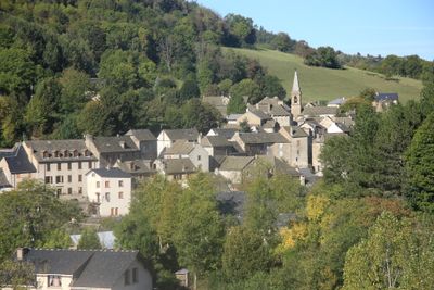
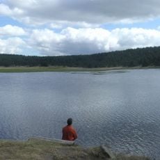
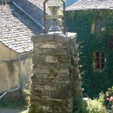
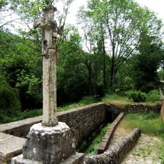
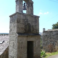
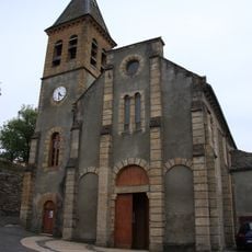
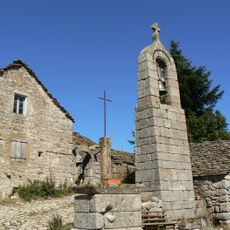
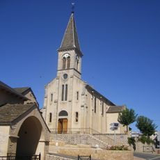
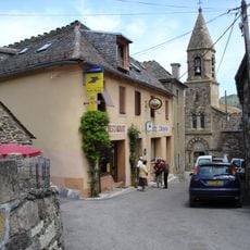
Bagnols-les-Bains is a small village in the Lozère region of southern France, sitting at over 900 meters elevation surrounded by mountains and forests with quiet, narrow streets and old stone buildings. The settlement is shaped by natural thermal springs whose warm, mineral-rich water rises from deep within the mountain and is still used today by modern spa facilities.
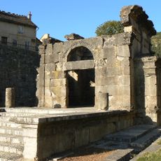
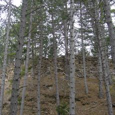
Romans used the site for its healing thermal springs, as proven by archaeological finds of bricks, coins, and vessels. In the 1700s new bath complexes were built, linking Roman structures with modern facilities, and later in the 1800s the baths received official recognition as a health center treating up to 1600 people yearly.
The village took its current name in 1961, emphasizing its connection to the thermal springs. Local residents know each other well and maintain traditions through generations, gathering at the weekly Thursday market to share news and strengthen their close-knit community bonds.
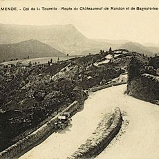
The village is reached by winding mountain roads and relies on the nearby town of Mende for larger shops and services. Visitors can access the thermal facility during daytime and explore the surrounding natural area, with better accessibility during dry weather conditions.
A local legend tells of Saint Enimie, a princess from the early 600s who came here to treat a skin disease, giving the place mystical significance. This story links the ancient use of the springs to a royal chapter that lives on in regional folklore today.
The community of curious travelers
AroundUs brings together thousands of curated places, local tips, and hidden gems, enriched daily by 60,000 contributors worldwide.