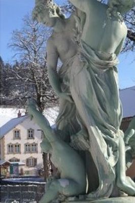
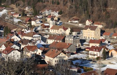
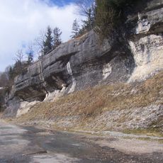
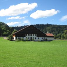
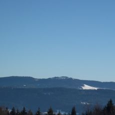
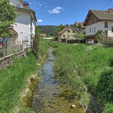
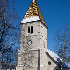
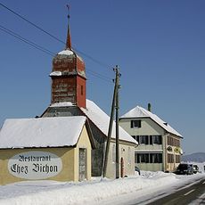
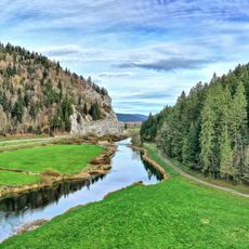
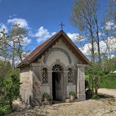
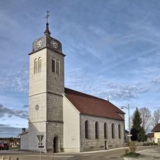
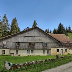
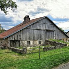
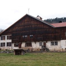
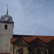
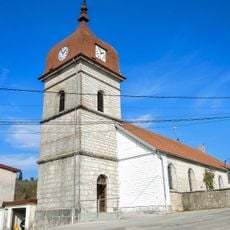
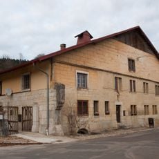
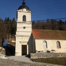
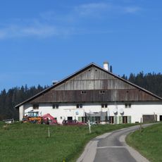
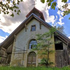
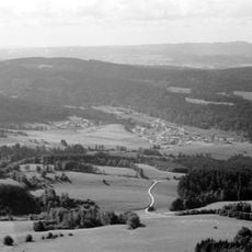
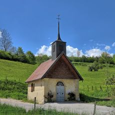
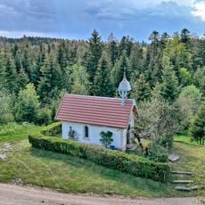
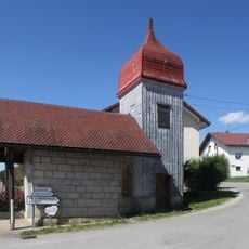
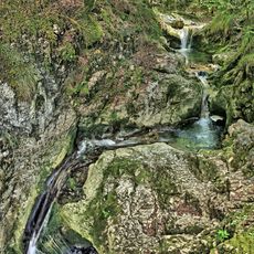
Les Gras, commune in Doubs, France
Location: Doubs
Location: Communauté de communes du Val de Morteau
Location: arrondissement of Pontarlier
Elevation above the sea: 997 m
Shares border with: Grand'Combe-Châteleu, Pays-de-Montbenoît
Phone: +33381688023
Email: mairie.lesgras@orange.fr
Website: http://mairielesgras.fr
GPS coordinates: 46.99472,6.54444
Latest update: June 2, 2025 19:28
Grotte-chapelle de Remonot
5.2 km
Abbaye de Montbenoît
6.2 km
Glacière de Monlési
6.9 km
Défilé d'Entre-Roches
4.8 km
Ferme - PA00101651 - Grand'Combe-Châteleu
4.5 km
Mont Châteleu
2.4 km
Gorges de Remonot
5.1 km
Ruisseau des Lavaux
6.7 km
Atelier du forgeron Louis Girard
4.5 km
Temple de La Brévine
5.1 km
Reformierte Kapelle Bémont
3.7 km
Défilé du Coin de la Roche
4.3 km
Chapelle Notre-Dame-du-Hameau
3.1 km
Église de la Nativité-de-Notre-Dame de la Motte
7.2 km
Ferme Cairey-Remonnay
5.5 km
Ferme, la Motte
7.2 km
Ferme - PA00101650 - Grand'Combe-Châteleu
4.5 km
Église Saint-Joseph de Grand'Combe-Châteleu
4 km
Église du Saint-Esprit de Rémonot
5.2 km
Ferme - PA00101649 - Grand'Combe-Châteleu
3.6 km
Église Saint-Renobert des Gras
131 m
La Grosse Maison, La Brévine
3.2 km
Chapelle Notre-Dame-des-Ermites de Grand'Combe-Châteleu
5.5 km
Mont Châteleu
2.2 km
Chapelle Saint-Joseph de Grand'Combe-Châteleu
3.6 km
Chapelle Sainte-Anne de Montlebon
5.5 km
Chapelle Saint-Joseph de Ville-du-Pont
5.2 km
Cascade des chaudières
1 kmVisited this place? Tap the stars to rate it and share your experience / photos with the community! Try now! You can cancel it anytime.
Discover hidden gems everywhere you go!
From secret cafés to breathtaking viewpoints, skip the crowded tourist spots and find places that match your style. Our app makes it easy with voice search, smart filtering, route optimization, and insider tips from travelers worldwide. Download now for the complete mobile experience.
A unique approach to discovering new places❞
— Le Figaro
All the places worth exploring❞
— France Info
A tailor-made excursion in just a few clicks❞
— 20 Minutes