Saint-Pierre-d'Oléron

Log in to your account

AroundUs is a community-driven map of interesting places, built by curious explorers like you. It grows with every review, story, and photo you share.
Connect to save your favorite spots, contribute locations, and create personalized routes.
Continue with Google
Continue with Apple
Continue with X
Continue with Facebook
Continue with email
By continuing, you accept our Terms and Conditions and our Privacy Policy
Create an account
Add to collection
Map
Suggest a change
Share

Saint-Pierre-d'Oléron, Coastal commune on Oléron Island in Charente-Maritime, France.

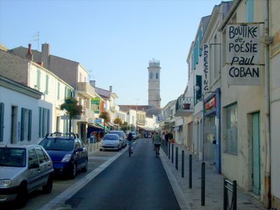
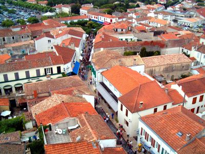
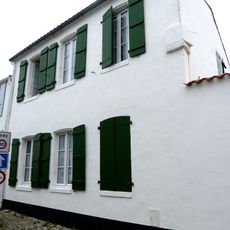
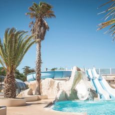
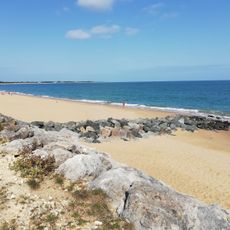
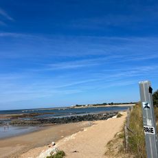
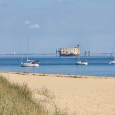
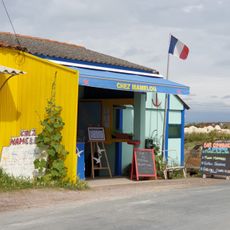
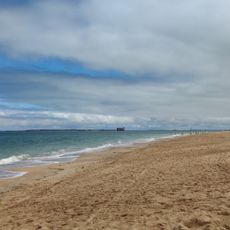
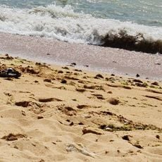
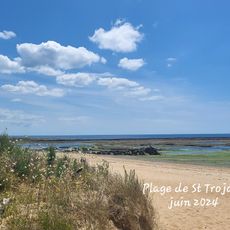
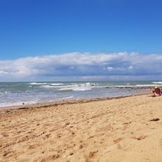
Saint-Pierre-d'Oléron is a coastal commune on France's second-largest island, featuring sandy beaches, salt marshes, and working fishing ports along the Atlantic. The settlement spans roughly 40 square kilometers and combines natural shoreline with traditional maritime infrastructure.

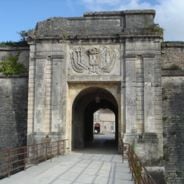
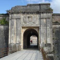
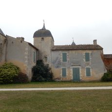
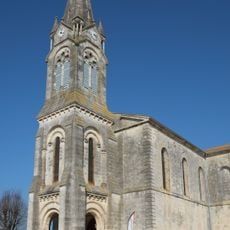
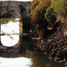
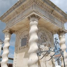
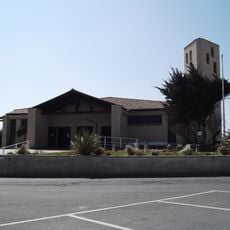
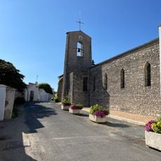
The commune adopted its current name in 1962 to distinguish itself on Oléron Island. The 16th-century Château de Bonnemie represents a major historical structure that remains classified among the area's protected buildings.

Local traditions include wearing the distinctive cornette-shaped Oléronaise headdress during festivals and celebrating maritime heritage through boat races and communal seafood gatherings.

The area is easy to navigate by car, with regular access roads to ports and beaches throughout the commune. Summer months bring crowds, so traveling in shoulder seasons offers a more relaxed experience for exploring the waterfront.

La Cotinière harbor ranks among France's busiest fishing ports, delivering fresh catch to markets daily. The oysters raised here are prized for their quality and develop a distinctive green tint from natural algae found in local waters.

Location: canton of Saint-Pierre-d'Oléron

Location: Charente-Maritime

Location: Arrondissement of Rochefort

Elevation above the sea: 5 m

Shares border with: Dolus-d'Oléron, Saint-Georges-d'Oléron

Address: 17310 Saint-Pierre-d'Oléron, France

Phone: +33546470283

Email: accueil@saintpierreoleron.com

Website: http://saintpierreoleron.com

GPS coordinates: 45.94361,-1.30583

Latest update: December 6, 2025 19:00

Photos
What to see on Oléron Island: tourist sites, historical monuments, and beaches to visit

Oléron Island, the largest island in mainland France after Corsica, features a military, maritime, and natural heritage reflecting its strategic position facing the Atlantic Ocean. This Charente island, connected to the mainland since 1966 by a nearly three-kilometer-long bridge, houses...

Reviews

Visited this place? Tap the stars to rate it and share your experience / photos with the community! Try now! You can cancel it anytime.

« Saint-Pierre-d'Oléron - Coastal commune on Oléron Island in Charente-Maritime, France » is provided by Around Us (aroundus.com). Images and texts are derived from Wikimedia project under a Creative Commons license. You are allowed to copy, distribute, and modify copies of this page, under the conditions set by the license, as long as this note is clearly visible.

Discover hidden gems everywhere you go!

From secret cafés to breathtaking viewpoints, skip the crowded tourist spots and find places that match your style. Our app makes it easy with voice search, smart filtering, route optimization, and insider tips from travelers worldwide. Download now for the complete mobile experience.

Around Us App Screenshot

A unique approach to discovering new places

Le Figaro

All the places worth exploring

France Info

A tailor-made excursion in just a few clicks

20 Minutes