Enable Location

We need your location to show you interesting places around you

Discover nearby places

Find interesting locations and hidden gems around you

Precise directions

Get accurate directions and distances to places

Your location is never shared with other users. It's only used when you tap the location button.

Sollières-Sardières

Log in to your account

Start exploring — it's free

Trusted by 61,561 travelers worldwide

Continue with Google
Continue with Apple
or

We will send you a code to connect

By continuing, you accept our Terms and Conditions and our Privacy Policy

Check your inbox

We've sent a pincode in your inbox. Please enter the code below.

Sollières-Sardières

Sollières-Sardières, Alpine commune in Savoie, France

Description

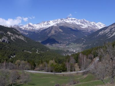
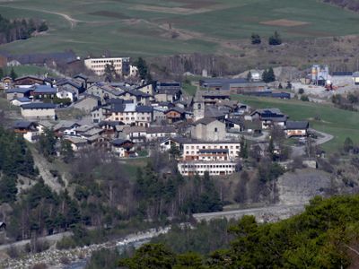
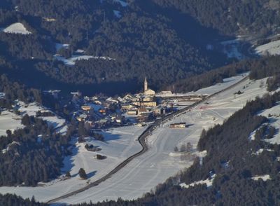
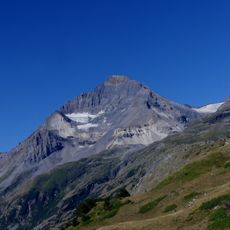
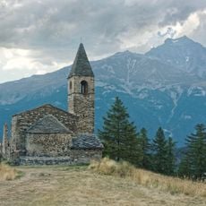
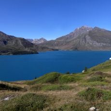
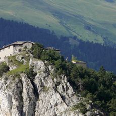
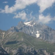
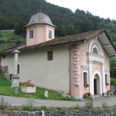
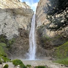
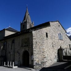
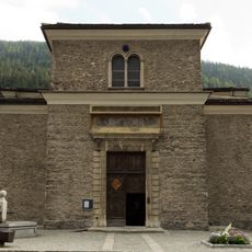
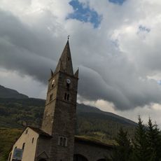
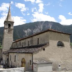
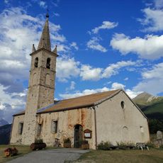
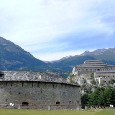
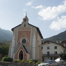
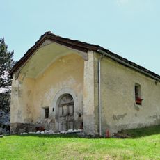
Sollières-Sardières is an Alpine commune in southeastern France situated between the Mont Cenis and Ambin mountain ranges within the Maurienne valley. The settlement sits at approximately 2000 meters elevation and comprises two main villages with traditional buildings and a structure typical of mountain communities.

History

The commune was formed through a merger of five neighboring villages in 2017 that unified to create Val-Cenis. This consolidation brought together Bramans, Lanslebourg-Mont-Cenis, Lanslevillard, Termignon, and Sollières-Sardières under a single municipal structure.

Culture

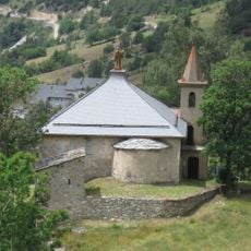
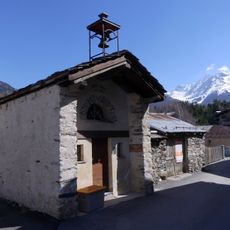
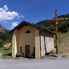
The commune maintains traditional Alpine architecture with residential areas divided between two main villages: Sardières and Sollières.

Practical

A small airstrip identified by ICAO code LFKD provides air access to the region. The town hall operates specific days during the week for administrative services and inquiries.

Did you know?

Portions of the commune fall within and on the boundaries of Vanoise National Park, creating different protection levels across the territory. This spatial division shapes how the landscape is managed and conserved.

Location
Elevation above the sea
2,044 m
Shares border with
Aussois, Bramans, Lanslebourg-Mont-Cenis, Termignon
Address
Sollières-Sardières, 73500 Val-Cenis, France
GPS coordinates
45.26417,6.80833
Latest update
December 10, 2025 16:23

AroundUs brings together thousands of curated places, local tips, and hidden gems, enriched daily by 60,000 contributors worldwide. Discover all places nearby (canton of Lanslebourg-Mont-Cenis).

« Sollières-Sardières - Alpine commune in Savoie, France » is provided by Around Us (aroundus.com). Images and texts are derived from Wikimedia project under a Creative Commons license. You are allowed to copy, distribute, and modify copies of this page, under the conditions set by the license, as long as this note is clearly visible.

Discover hidden gems everywhere you go!

From secret cafés to breathtaking viewpoints, skip the crowded tourist spots and find places that match your style. Our app makes it easy with voice search, smart filtering, route optimization, and insider tips from travelers worldwide. Download now for the complete mobile experience.

Around Us App Screenshot

A unique approach to discovering new places

Le Figaro

All the places worth exploring

France Info

A tailor-made excursion in just a few clicks

20 Minutes

Around Us
Travel Guide & Maps
Download

Send to your phone

QR Code
1

Open the camera app on your mobile.

2

Point at the QR code with your camera. A notification will appear.

3

Tap the notification to open the link.