
Saint-Palais, commune in Cher, France
Location: Cher
Location: arrondissement of Bourges
Elevation above the sea: 224 m
Shares border with: Achères, Méry-ès-Bois, Quantilly, Saint-Martin-d'Auxigny
Phone: +33248660133
Email: mairie@saintpalais18.fr
Website: https://saintpalais18.fr
GPS coordinates: 47.23250,2.42000
Latest update: May 27, 2025 16:27
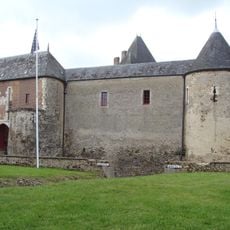
Château de Béthune
14.4 km
Château du Grand Chavanon
16 km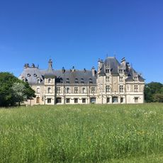
Château de Menetou-Salon
5.4 km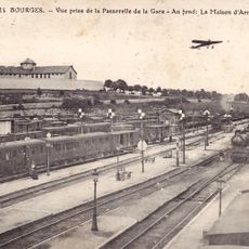
Maison d'arrêt de Bourges
15.3 km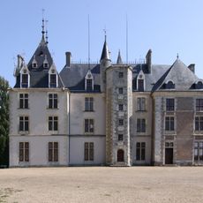
Château de Maupas
12.6 km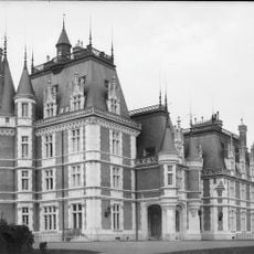
Château de Vouzeron
14.1 km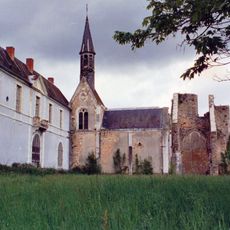
Abbaye de Loroy
9.7 km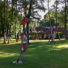
Buildings by ceramist Jean Linard
17 km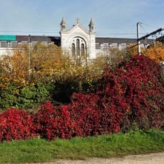
Chapelle du couvent des Sœurs de la Charité de Bourges
15.4 km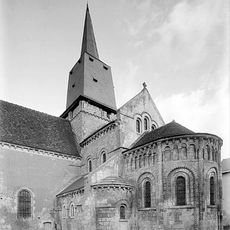
Collégiale Saint-Germain des Aix-d'Angillon
12 kmÉglise Sainte-Solange de Sainte-Solange
14.6 km
Église Saint-Jean de Bourges
14.4 km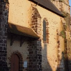
Église Saint-Symphorien de Morogues
13.5 kmÉglise Saint-Germain d'Allouis
16.4 km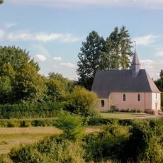
Église Notre-Dame d'Achères
5.7 km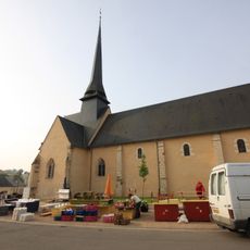
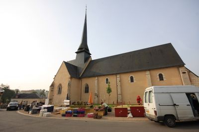
Église Saint-Palais de Saint-Palais
19 m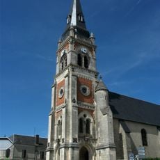
Église Saint-Pierre de Menetou-Salon
5.1 km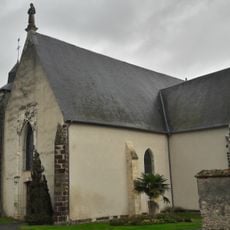
Église Saint-Jacques de La Chapelle-d'Angillon
14.6 km
Hôpital général de Bourges
15.6 km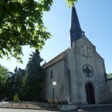
Église Saint-Doulchard de Saint-Doulchard
15.1 km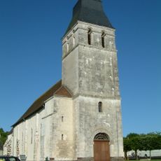
Église Saint-Christophe de Rians
15.5 km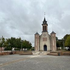
Église Saint-Germain de Saint-Germain-du-Puy
15.5 km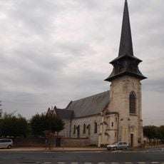
Église de Vouzeron
15.2 km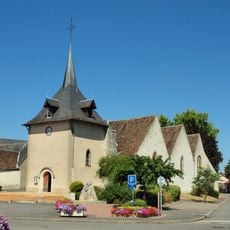
Église Notre-Dame de Neuvy-sur-Barangeon
15.4 km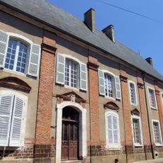
Maison de Sully
11.2 km
Château de Saint-Hubert
16 km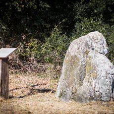
Pierre à la Femme
5.9 km
Église Saint-Roch de Bourges
15.6 kmVisited this place? Tap the stars to rate it and share your experience / photos with the community! Try now! You can cancel it anytime.
Discover hidden gems everywhere you go!
From secret cafés to breathtaking viewpoints, skip the crowded tourist spots and find places that match your style. Our app makes it easy with voice search, smart filtering, route optimization, and insider tips from travelers worldwide. Download now for the complete mobile experience.

A unique approach to discovering new places❞
— Le Figaro
All the places worth exploring❞
— France Info
A tailor-made excursion in just a few clicks❞
— 20 Minutes