Enable Location

We need your location to show you interesting places around you

Discover nearby places

Find interesting locations and hidden gems around you

Precise directions

Get accurate directions and distances to places

Your location is never shared with other users. It's only used when you tap the location button.

Andrésy

Log in to your account

Start exploring — it's free

Trusted by 63,500 travelers worldwide

Continue with Google
Continue with Apple
or

We will send you a code to connect

By continuing, you accept our Terms and Conditions and our Privacy Policy

Check your inbox

We've sent a pincode in your inbox. Please enter the code below.

Discussion Reviews 1 Photos
18.1k Popularity

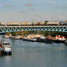
Andrésy, commune in Yvelines, France

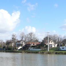
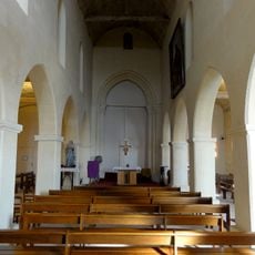
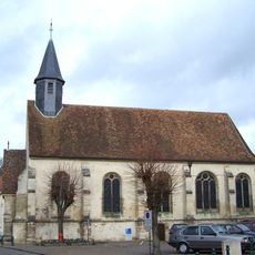
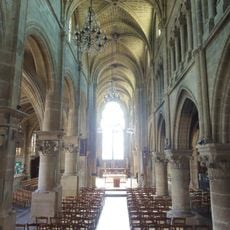
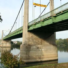
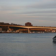
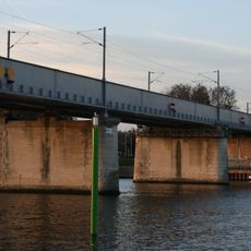
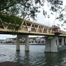
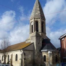
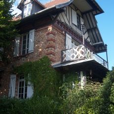
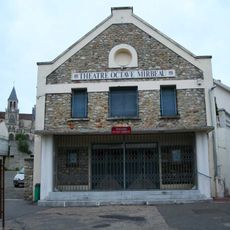
Andrésy is a small commune in the Yvelines department located where the Seine and Oise rivers meet. The town features quiet streets lined with stone and brick buildings, traditional tiled roofs, and modest front gardens throughout its residential areas.

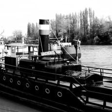
During Roman times, Andrésy served as an important military base with a fleet called the Classis Anderitianorum that monitored river crossings and the nearby city of Lutèce, now Paris. In the Middle Ages, King Clovis granted the land to the Church of Paris, which controlled it until the French Revolution.

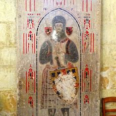
The name Andrésy comes from Roman times and refers to the ancient fleet that was stationed here to oversee river navigation. The town preserves this connection to its past through its coat of arms, which features a Roman galley and reminds visitors of this maritime heritage.

The town is accessible by train approximately thirty kilometers west of Paris and can be reached from the capital in less than thirty minutes. Visitors can find local shops, parking areas along the riverbanks, and walking paths through quiet streets and green spaces.

The town's coat of arms displays a Roman galley alongside two gold crosses and flowers, representing both its ancient military history and the church's long control of the land. These symbols were officially approved only in 1948, visually connecting two major periods of the town's past in a single emblem.

The community of curious travelers

AroundUs brings together thousands of curated places, local tips, and hidden gems, enriched daily by 60,000 contributors worldwide.

Start exploring
Location
Elevation above the sea
64 m
Shares border with
Achères, Carrières-sous-Poissy, Chanteloup-les-Vignes, Conflans-Sainte-Honorine, Maurecourt, Triel-sur-Seine
Phone
GPS coordinates
48.98083,2.05833
Latest update
February 17, 2026 00:00
Reviews
Share your experience

No review yet

Discussions
Start a discussion...

No discussion yet

« Andrésy - commune in Yvelines, France » is provided by Around Us (aroundus.com). Images and texts are derived from Wikimedia project under a Creative Commons license. You are allowed to copy, distribute, and modify copies of this page, under the conditions set by the license, as long as this note is clearly visible.

Discover hidden gems everywhere you go!

From secret cafés to breathtaking viewpoints, skip the crowded tourist spots and find places that match your style. Our app makes it easy with voice search, smart filtering, route optimization, and insider tips from travelers worldwide. Download now for the complete mobile experience.

Around Us App Screenshot

A unique approach to discovering new places

Le Figaro

All the places worth exploring

France Info

A tailor-made excursion in just a few clicks

20 Minutes

Around Us
Travel Guide & Maps
Download

Send to your phone

QR Code
1

Open the camera app on your mobile.

2

Point at the QR code with your camera. A notification will appear.

3

Tap the notification to open the link.