Enable Location

We need your location to show you interesting places around you

Discover nearby places

Find interesting locations and hidden gems around you

Precise directions

Get accurate directions and distances to places

Your location is never shared with other users. It's only used when you tap the location button.

Archipel de Molène

Log in to your account

Start exploring — it's free

Trusted by 61,976 travelers worldwide

Continue with Google
Continue with Apple
or

We will send you a code to connect

By continuing, you accept our Terms and Conditions and our Privacy Policy

Check your inbox

We've sent a pincode in your inbox. Please enter the code below.

Archipel de Molène

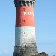
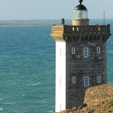
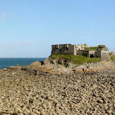
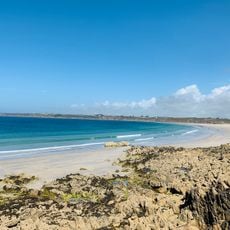
Archipel de Molène, Coastal archipelago in Brittany, France

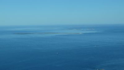
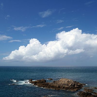
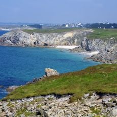
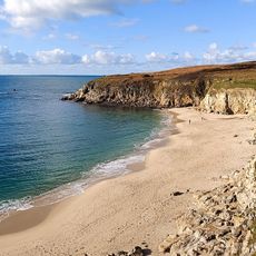
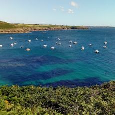
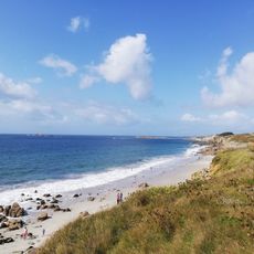
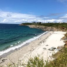
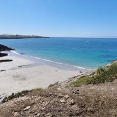
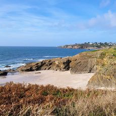
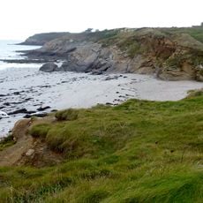
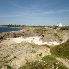
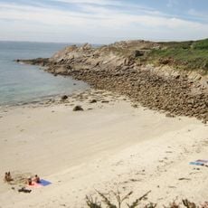
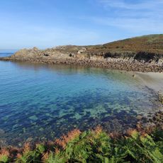
The Molène Archipelago comprises nineteen islands and small islets spread across approximately 16 kilometers between Le Conquet and Ouessant Island. The landmasses feature rocky coastlines, small beaches, and green slopes, totaling roughly 195 hectares of emerged terrain.

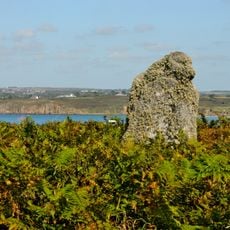
During the Ice Age, this archipelago formed one connected landmass stretching from Le Conquet to Pointe Saint-Mathieu. Rising sea levels gradually separated these lands into the distinct islands and islets visible today.

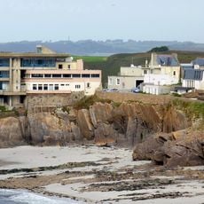
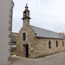
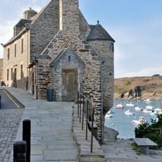
The name derives from Breton language roots reflecting the islanders' deep connection to maritime life. Walking through the settlements today, you notice how fishing traditions shape the local rhythm and the way people interact with their surroundings.

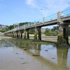
The islands are primarily accessible between April and October when ferry services depart from Le Conquet harbor. A typical visit to Molène Island lasts around three and a half hours, allowing enough time to walk around and explore.

At extremely low tides, visitors can walk between certain islands on foot, particularly from Triélen to Molène. Local people celebrate this rare occurrence annually as a traditional crossing that connects the separated lands.

The community of curious travelers

AroundUs brings together thousands of curated places, local tips, and hidden gems, enriched daily by 60,000 contributors worldwide.

Start exploring
Location
Location
GPS coordinates
48.38333,-4.91667
Latest update
December 6, 2025 17:40
Historical sites and landscapes in Brittany

Brittany combines medieval architecture with natural landscapes that shape the region's character. Granite cliffs, forests, lighthouses, and fishing villages dot the coastline. Visitors discover Celtic megaliths, castles, abbeys, and museums filled with maritime history. The shoreline displays...

« Archipel de Molène - Coastal archipelago in Brittany, France » is provided by Around Us (aroundus.com). Images and texts are derived from Wikimedia project under a Creative Commons license. You are allowed to copy, distribute, and modify copies of this page, under the conditions set by the license, as long as this note is clearly visible.

Discover hidden gems everywhere you go!

From secret cafés to breathtaking viewpoints, skip the crowded tourist spots and find places that match your style. Our app makes it easy with voice search, smart filtering, route optimization, and insider tips from travelers worldwide. Download now for the complete mobile experience.

Around Us App Screenshot

A unique approach to discovering new places

Le Figaro

All the places worth exploring

France Info

A tailor-made excursion in just a few clicks

20 Minutes

Around Us
Travel Guide & Maps
Download

Send to your phone

QR Code
1

Open the camera app on your mobile.

2

Point at the QR code with your camera. A notification will appear.

3

Tap the notification to open the link.