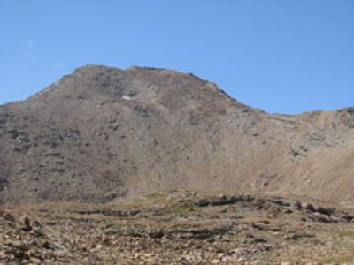
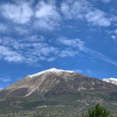
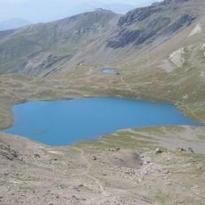
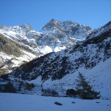
Tête de Vautisse, Mountain summit in Écrins Massif, Hautes-Alpes, France.
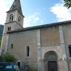
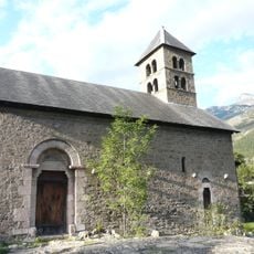
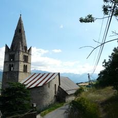
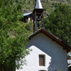
Tête de Vautisse is a mountain peak standing at 3,156 meters (10,354 feet) within the Écrins Massif. The summit marks a boundary point between three municipalities and lies within Écrins National Park.
French authorities studied this peak as a potential site during nuclear research planning in the 1950s, though the project never materialized here. This episode linked the alpine summit to mid-century French scientific activity.
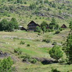
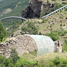
The slopes here support traditional Alpine shepherding, with herds grazing during summer months. Local shepherds maintain centuries-old farming practices across these high pastures.
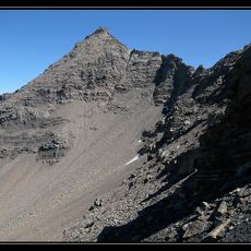
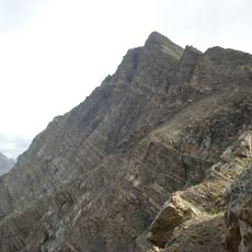
The climb demands considerable stamina and involves crossing varied terrain on the way up. Weather conditions change rapidly at altitude, and hikers should prepare for steep sections and potentially rocky paths.
Alpine ptarmigans inhabit the rocky terrain here, displaying remarkable survival skills in harsh high-altitude conditions. These birds are typically found much farther north, making their presence here a notable detail of the mountain ecosystem.
The community of curious travelers
AroundUs brings together thousands of curated places, local tips, and hidden gems, enriched daily by 60,000 contributors worldwide.