Ornans, Administrative division in Ornans, France
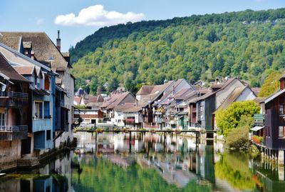
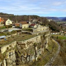
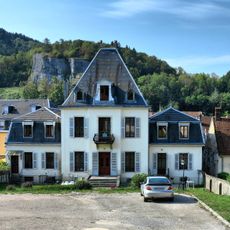
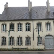
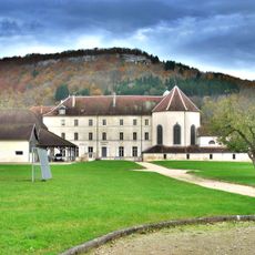
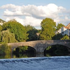
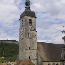
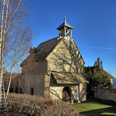
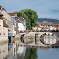
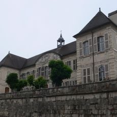
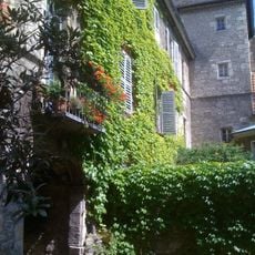
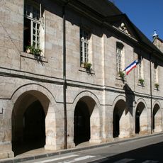
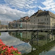
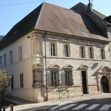
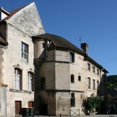
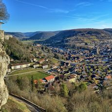
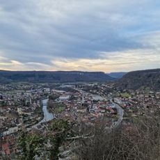
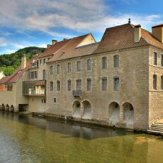
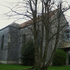
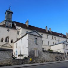
Ornans is a commune in the Doubs department of eastern France that stretches along the Loue river, featuring rows of traditional stone buildings with distinctive architecture. The settlement sits in a valley surrounded by forested hills and serves as a cultural hub within the region.
Ornans emerged as a settlement in medieval times along an important river crossing in the Franche-Comté region. The town became linked to artistic movements in the 19th century when local painters documented the surrounding landscape and valley life through their work.
Ornans presents itself as an artistic village centered on the Loue river, with historic buildings reflected in its waters and a strong connection to 19th-century realist painting. The town's character is deeply shaped by its association with local artist Gustave Courbet and the landscapes that inspired his work.
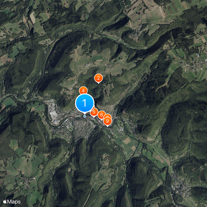
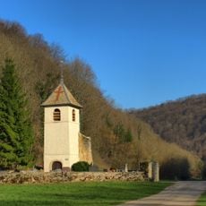
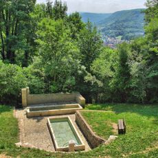
The town is easily reached by road and offers parking for visitors along with basic tourist services including small hotels and local restaurants. The best time to explore is during warmer months when hiking trails to the surrounding hills are accessible and the river is suitable for activities like canoeing.
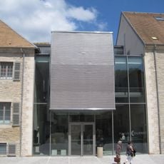
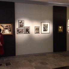
The town is closely tied to painter Gustave Courbet, who grew up here and created some of his most important works depicting local life and landscape. A museum in the town documents his life and artistic practice, which shaped realistic art movements of the 19th century.
The community of curious travelers
AroundUs brings together thousands of curated places, local tips, and hidden gems, enriched daily by 60,000 contributors worldwide.