Geography of Ireland, Geographic region in Western Europe.
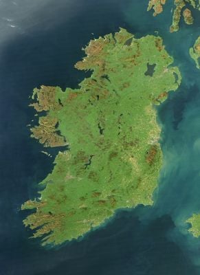
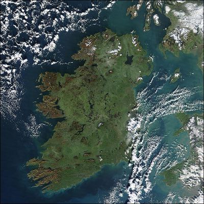
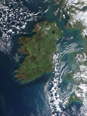
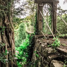
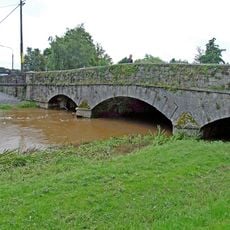
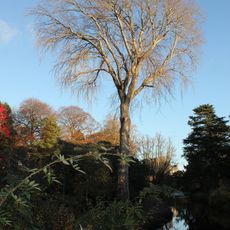
This geography covers the entire Irish island in western Europe, showing a wide central plain surrounded by coastal hills and mountains. Rivers cross the land and form lakes along with large peat bogs that cover many regions.
Glaciers from the last ice age shaped the current landscape, carving valleys, hills, and many lakes around 10,000 years ago. The melting of these ice masses also left typical moraines and deep bays along the coast.
River and mountain names often derive from Irish Gaelic, reflecting centuries of Celtic settlement across the land. Farmers still follow ancient county boundaries that trace natural ridges and waterways, shaping how fields are divided and livestock grazing is managed today.
Rain falls frequently throughout the year, so waterproof clothing is advisable for outdoor trips. The west and southwest receive noticeably more rainfall than eastern parts, which influences planning for walks or cycling routes.
The northwest shows some of the highest cliffs in Europe, where the sea meets steep rock walls directly. Inland lie wide peat bogs that formed over thousands of years and are still used as fuel today.
The community of curious travelers
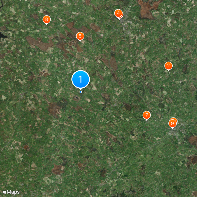
AroundUs brings together thousands of curated places, local tips, and hidden gems, enriched daily by 60,000 contributors worldwide.