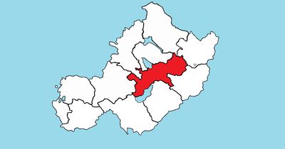
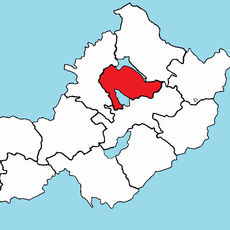
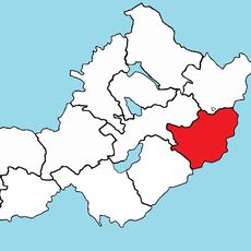
Moyashel and Magheradernon, Historical barony in County Westmeath, Ireland.
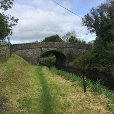
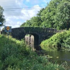
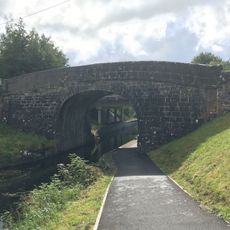
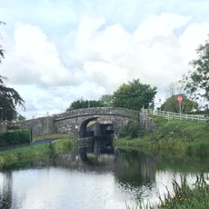
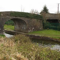
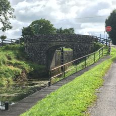
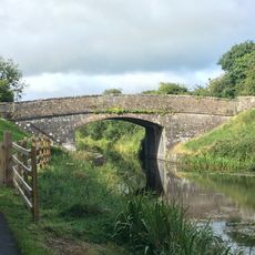
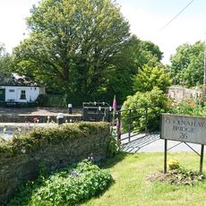
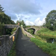
Moyashel and Magheradernon is a historical barony in County Westmeath, Ireland, stretching across rolling meadows and farmland. The region forms a traditional agricultural area in central Ireland, accessible for genealogical and historical research purposes.
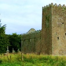
The barony was established in medieval times as a territorial administrative unit to organize land ownership in the region. During the 19th century, Griffith's Valuation documented land distribution and social structures during the Great Famine period.
The dual naming reflects Irish language traditions: Moyashel and Magheradernon in English correspond to Maigh Asail agus Machaire Ó dTiarnáin in Irish. This linguistic layering shows how the region holds onto its heritage through place names that tell stories of earlier inhabitants.
The region is accessible through digital archives containing maps, documents, and census data from 1901 and 1911. Researchers and genealogists can use these resources to trace family histories and land ownership patterns.
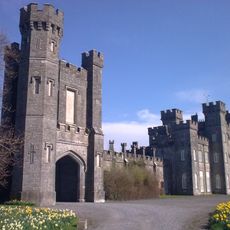
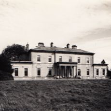
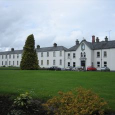
The barony includes the town of Mullingar, known locally as An Muileann gCearr, which serves as an administrative center for the county. This town developed into the economic and administrative heart of the region and draws visitors interested in exploring local history.
The community of curious travelers
AroundUs brings together thousands of curated places, local tips, and hidden gems, enriched daily by 60,000 contributors worldwide.