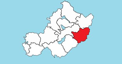
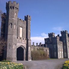
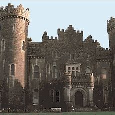
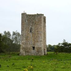
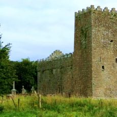
Farbill, Cultural heritage site in County Westmeath, Ireland
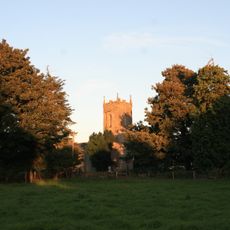
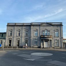
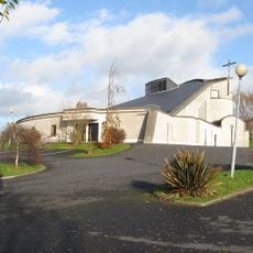
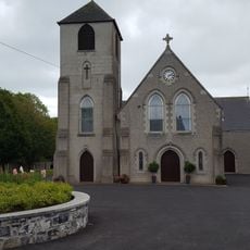
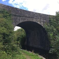
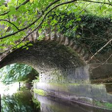
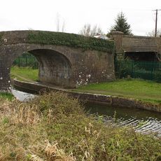
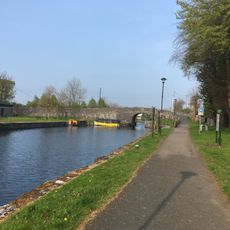
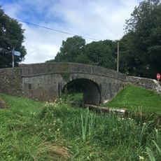
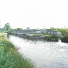
Farbill is a townland in County Westmeath comprising agricultural areas, scattered woodlands, and traditional rural settlements spread across the landscape. The area is connected by country roads and pathways that link different sections of this Irish locality together.
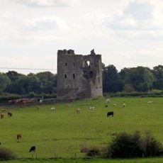
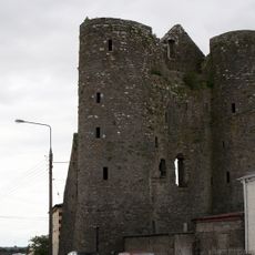
This townland developed as part of Ireland's historical system of land organization, where the countryside was divided into small administrative divisions. This ancient structure has remained intact over the centuries and continues to shape how the area is understood today.
The name Farbill comes from the Irish Fir Bhile, showing how the local language is woven into the place's identity. This linguistic connection reflects the importance that Irish heritage holds for the communities living here.
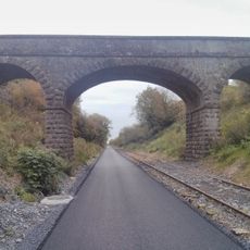
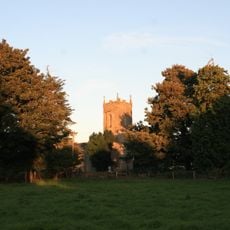
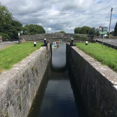
The area is reached through regional roads that form a network connecting different parts of County Westmeath and its rural pathways. Accommodations are available in nearby towns, making it easy to base yourself nearby and explore the surrounding countryside.
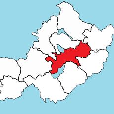
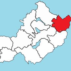
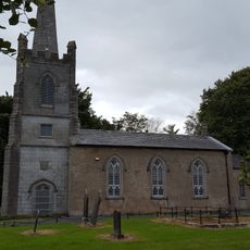
The townland comprises more than one hundred administrative subdivisions, reflecting its complexity as a rural territorial division. This unusual fragmentation demonstrates just how detailed the historical land divisions in Ireland could become.
The community of curious travelers
AroundUs brings together thousands of curated places, local tips, and hidden gems, enriched daily by 60,000 contributors worldwide.