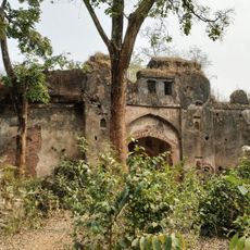
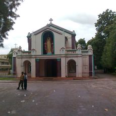
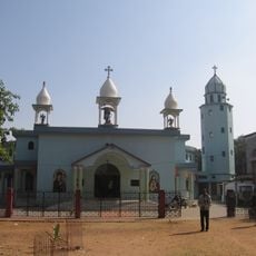
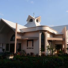
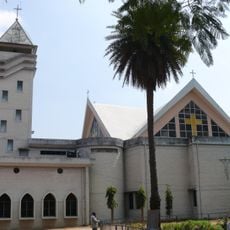
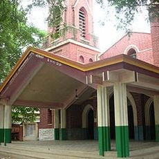
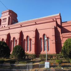
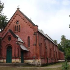
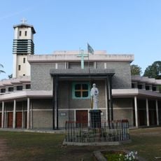
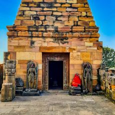
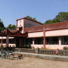
Jashpur district, Administrative district in Surguja division, India
Jashpur is a district in the Surguja region that spans about 150 kilometers from north to south, combining mountainous terrain in the Upper Ghat with flatter landscapes in the Nichghat area. Several towns such as Lodam, Gholeng, Kunkuri, and Pathalgaon are connected by a national highway and form the main settlements of the district.
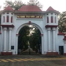
The area emerged from the former princely state of Jashpur, which merged with independent India in 1948, marking a significant step in integration into the new nation. This union under Vijay Bhushan Singh Ju Deo shaped the region's subsequent development.
The population speaks multiple languages in daily life, with Sadri being the most common, followed by Kurukh, Chhattisgarhi, Odia, Hindi, and Bhojpuri. This linguistic variety shapes everyday interactions and reflects the different communities that coexist here.
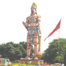
Visitors should know that a national highway connects the various towns and settlements, making travel between them manageable. Planning several days to explore the different landscapes is helpful, as distances across the area are considerable.
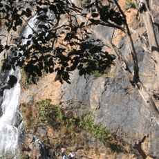
The district shows marked temperature differences between its various towns, with Kunkuri experiencing high summer heat while Pandrapat records significantly colder winters. These climate variations influence both the vegetation and how residents live in different parts of the area.
The community of curious travelers
AroundUs brings together thousands of curated places, local tips, and hidden gems, enriched daily by 60,000 contributors worldwide.