Enable Location

We need your location to show you interesting places around you

Discover nearby places

Find interesting locations and hidden gems around you

Precise directions

Get accurate directions and distances to places

Your location is never shared with other users. It's only used when you tap the location button.

Log in to your account

Start exploring — it's free

Trusted by 62,564 travelers worldwide

Continue with Google
Continue with Apple
or

We will send you a code to connect

By continuing, you accept our Terms and Conditions and our Privacy Policy

Check your inbox

We've sent a pincode in your inbox. Please enter the code below.

Banda district

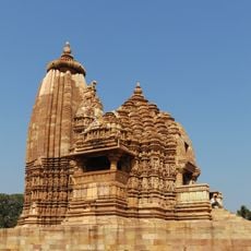
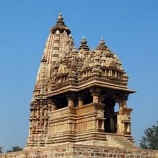
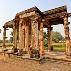
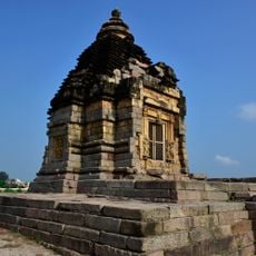
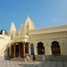
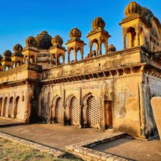
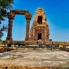
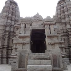
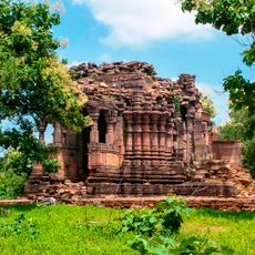
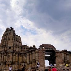
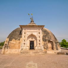
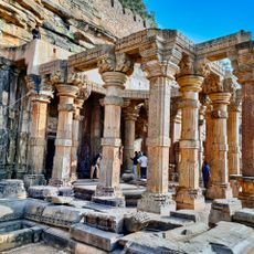
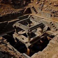
Banda district, Administrative district in Chitrakoot division, India

Banda district is an administrative area in Uttar Pradesh covering around 4,413 square kilometers, characterized by uneven highlands and rocky outcrops throughout. The Baghein, Ken, and Yamuna rivers flow through the landscape, dividing the district into different geographic zones.

The district was reshaped in 1998 when the Karwi and Mau tehsils were separated to form the new Chitrakoot district. This administrative restructuring changed the governance boundaries and organizational structure of the region.

Hindi is the main language spoken by almost all residents, while southern areas use Bundeli dialects and northern regions speak Awadhi variations. This linguistic diversity shapes daily interactions and local conversations across the various communities.

The area is divided into five local administrative divisions: Banda, Naraini, Baberu, Pailani, and Atarra, each handling local management and services. Visitors should approach the relevant administrative office for information about local matters or permissions.

Local craftspeople extract and process Shajar stones, which are specifically used in jewelry making throughout the region. This craft tradition is deeply tied to the local economy and daily work of the communities.

The community of curious travelers

AroundUs brings together thousands of curated places, local tips, and hidden gems, enriched daily by 60,000 contributors worldwide.

Start exploring
Capital city
Banda
Shares border with
Hamirpur district, Chitrakoot district, Fatehpur district
GPS coordinates
25.50000,80.50000
Latest update
December 7, 2025 19:27
« Banda district - Administrative district in Chitrakoot division, India » is provided by Around Us (aroundus.com). Images and texts are derived from Wikimedia project under a Creative Commons license. You are allowed to copy, distribute, and modify copies of this page, under the conditions set by the license, as long as this note is clearly visible.

Discover hidden gems everywhere you go!

From secret cafés to breathtaking viewpoints, skip the crowded tourist spots and find places that match your style. Our app makes it easy with voice search, smart filtering, route optimization, and insider tips from travelers worldwide. Download now for the complete mobile experience.

Around Us App Screenshot

A unique approach to discovering new places

Le Figaro

All the places worth exploring

France Info

A tailor-made excursion in just a few clicks

20 Minutes

Around Us
Travel Guide & Maps
Download

Send to your phone

QR Code
1

Open the camera app on your mobile.

2

Point at the QR code with your camera. A notification will appear.

3

Tap the notification to open the link.